Karakum Desert, Turkmenistan: the Black Sand Desert
The desert that covers about 70% of Turkmenistan, with desert villages, ancient oases and the burning Darvaza gas crater.
Karakum Desert
The Karakum Desert is also spelled Kara-Kum and in Turkmen Garagum or Gara Gum. The Karakum desert is translated as “Black Sand” and is one of the largest deserts in Central Asia and on Earth. The sand in the area is actually not black but the shale rich soil under the sand is dark. The Karakum desert covers about 70% of Turkmenistan and is Central Asia’s hottest sandy region. The Karakum covers about 350,000 km², stretching some 800 km from west to east and 500 km from north to south. It is located between the foothills of Kopetdag, Karabil, and Vanhyz in the south, the Khorezm in the north, the Amu Darya valley in the northeast and the western Uzboy channel in the west. Together with the Kyzyl Kum desert they form the Southern Central Asia desert.
Karakum desert is a sun-scorched expanse of dunes and rare vegetation in the center of Turkmenistan stretching to the horizon. From the south it is held by the picturesque cliffs and gorges of the Kopetdag mountains, which break off from a height into the frozen “sea” of the foothills, beyond which the desert begins. In Karakum you can see everything from lakes and areas of dry subtropics to lifeless rocky areas, clay and gypsum plains and of course vast areas of loose sand (about 5 % of the total area are actual sand dunes).
The Karakum's best-known sight
The Darvaza gas crater, the “Door to Hell”, burns in the middle of the Karakum. Its flames are much smaller in 2026 than they used to be, so if you want to see it burning, go soon. Read about the Darvaza gas crater or see our Turkmenistan tours.
Tours visiting the Karakum Desert
These tours cross the Karakum Desert.
Turkmenistan 6 days tour
White-marble Ashgabat, a night at the Darvaza Gas Crater, ancient Merv, the Nisa fortress and the Akhal-Teke horses.
- Culture
- Silk Road
Starts in Ashgabat Private departures on request
5 days
Turkmenistan Group tour
A night at the burning Darvaza Gas Crater, white-marble Ashgabat, the Carpet Museum and the Akhal-Teke horses.
- Culture
- Nature
- Silk Road
Starts in Ashgabat
4 days
Turkmenistan 4 days tour
UNESCO-listed Konye-Urgench, a night in a yurt at the Darvaza Gas Crater, white-marble Ashgabat and Old Nisa.
- Culture
- Nature
- Silk Road
Starts in Border of Turkmenistan near Nukus Private departures on request
The desert still holds a few settlements, such as the village of Yerbent (Erbent), about 160 km north of Ashgabat on the road to Dashoguz. It is a scattered collection of houses, yurts, battered trucks and camels, and sand blowing in from the overgrazed dunes is slowly burying it. It doesn’t look like much, but it gives a glimpse of rural Turkmen life: you can watch traditional cooking and sit down for tea in a yurt. The Darvaza gas crater lies next to the same road, about 100 km further north. You can visit the Karakum on our Turkmenistan tours and Central Asia tours.
Climate of the Karakum desert
The climate of the Karakum is very continental, with long, hot, extremely dry summers but relatively warm winters for a continental desert. The average temperature depends on which part of Karakum you are in as the Caspian sea is a player in the Karakum climate. Average temperature in July in the north and along the shore of the Caspian Sea ranges from 26 to 28 °C and in the Central Karakum from 30 to 34 °C.
In January, average temperatures are −4 °C in the north and +4 °C in the south, but temperatures may fluctuate from as low as from −20 °C to as high as 10 °C within a day. The average annual rainfall varies from 70 mm in the north to 150 mm in the south. Precipitation occurs mainly in winter and early spring, mostly between December and April. Snow is also not uncommon.
Nature of the Karakum
As you might guess the nature is quite harsh in Karakum which is also the attraction of it. The vegetation is adapted to the desert climate consisting mainly of grass, small shrubs, bushes, and trees. The humid and yet not that hot spring causes the colorful blossoming of several beautiful flowers in the desert which the animals will be eating with enthusiasm during the spring time abundance that only lasts for a short time.
The amount of animals in Karakum is fairly low but there are still many different kinds of them. Several species of lizards (e.g. Central Asian gray monitor), snakes and turtles can be seen along with birds like skylarks, saxaul sparrows, wagtails, desert sparrows and jays. Among the rodents there are gophers and the funny looking jumping jerboas that “run” very fast. In the plains of the Karakum there are tolai hares, hedgehogs, barchan cats, corsac foxes, and goitered gazelles. The world of insects and other arthropods in the Karakum desert is diverse and includes ants, termites, mites, spiders, dung beetles and dark beetles. The endangered Persian leopard does not live in the sandy desert itself, but in the Kopetdag mountains on its southern edge.
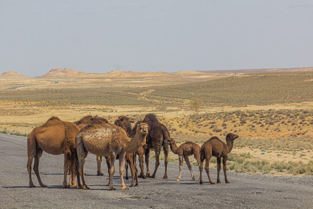
It is also obvious that while in Karakum desert you will see a lot of camels and goats that are grazing what they can.
Karakum hydrography
Groundwater in the Karakum Desert is found usually at depths of 6–10 m with some fresh water springs in some areas. There are also ancient man-made reservoirs on clay sites which was used to collect rainfall which the locals call “takyrah”. The northern part of the Karakum desert is more arid. Its natural border is the bed of the ancient river Uzboy that used to be a branch of Amu Darya but has been dry since the 17th century. The Uzboy used to flow to the Caspian Sea via Sarykamysh lake but dried up abruptly, also destroying the livelihoods of the local towns that had been farming the lands along the river at least from 5 century BC.
The Sarykamysh (or Sary-Kamysh) lake in the same named depression used to exist only periodically due to the fluctuation of water amount in Amu Darya. Currently it exists permanently due to wastewater from irrigation being actively discharged into the depression.
The southern parts of the Karakum desert are fed by the Marghab (Morghab) and Tejen rivers. The sources of these rivers are in the Hindu Kush Mountains in Afghanistan and dry up finally in the desert as the waters are consumed by the irrigation. All these rivers are fed mainly by snow meaning that the water levels drop drastically during the dry periods. There are also oases along the Murgab River, the largest of which are Merv, Yoloten and Pendi.
Karakum archaeology and history
Archaeologists have found human remains in Karakum as far as from the Stone Age as at the end of the Ice Age, the local climate was humid and the glaciers melting in the nearby mountain areas provided abundant amount of water and there were many more rivers in the region meaning that the area was a lot more pleasant for humans to dwell at the time.
Despite the harsh arid climate, the Karakum desert played an important role in the history of the ancient civilizations of the East. Ancient trade routes ran through its territory, the most famous of which is the Silk Road, through which goods from China were delivered to the Middle East and Europe.
Thanks to the developed irrigation system and wells, agriculture was possible here already in the ancient times. The Oghuz and Seljuk Turks also set out from here: in 1040 the Seljuks defeated the Ghaznavids at Dandanaqan, in the desert between Merv and Sarakhs, and went on to conquer Persia and later Asia Minor (now Turkey).
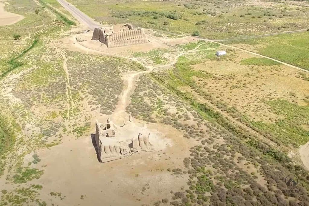
The Karakum Desert has a rich cultural heritage as well. It is home to the ancient city of Merv, a UNESCO World Heritage Site that was once an important center of the Silk Road trade route. The desert also holds other archaeological sites, including the ruins of ancient settlements and fortresses like in the Kunya-Urgench region, providing insights into the region’s historical significance.
Visiting the Karakum
The usual way into the desert is an overnight trip to the Darvaza gas crater, often with a stop at the village of Yerbent on the way and a look at the water and mud craters near Darvaza. The best months are April–May and September–November; summer days are often above 40 °C. You need a Turkmenistan visa, and in practice travel outside Ashgabat is with a licensed guide, so visitors come on a tour.
Our Turkmenistan fixed-date group tour crosses the Karakum from Ashgabat to Darvaza, spends the night at the crater and continues to the Uzbek border near Khiva. See all Turkmenistan tours.
Sights near or in Karakum Desert
Written by Anssi Karppinen, Central Asia Guide · Page updated