Amu Darya
Amu Darya
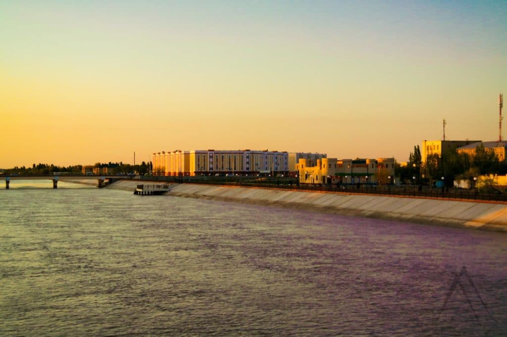
Amu Darya is a legendary river running through Tajikistan, Uzbekistan and Turkmenistan. It has been mentioned in history for already thousands of years and was know for a long time by the name of Oxus among several other names and the area north of the river was referred to as Transoxiana during the times of the Sogdian empire. Amu Darya waters originate mostly from the glaciers of the Tajik Pamir mountains and is formed by the confluence of the Vaksh and Panj (Pyanj) rivers. It is also marking the border between Afghanistan and Tajikistan as well as a long portion of the Uzbekistan Turkmenistan border.
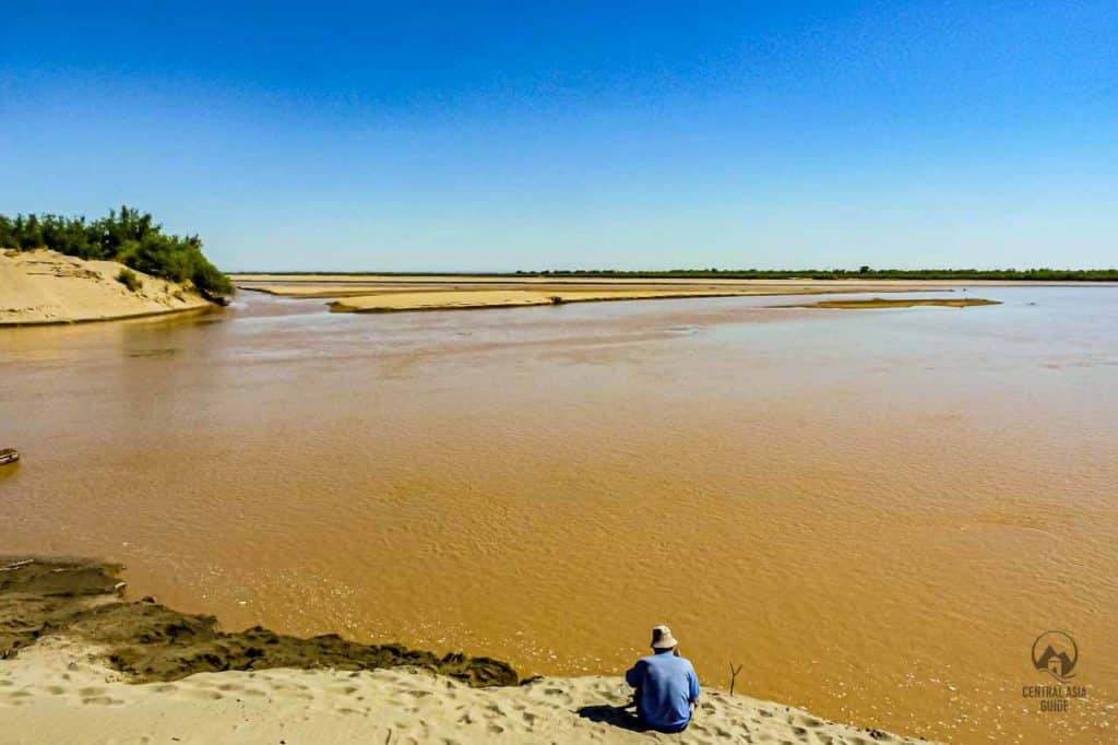
Amu Darya is one of the two major rivers (darya) of Central Asia that feed the waters to the shrinking Aral Sea, together with the Syr Darya which is located quite a lot further north from Amu Darya and originates from the Kyrgyz Tien Shan mountains. On its way to the Aral Sea, Amu Darya crosses many cities but is mostly flowing through desert and divides the Karakum and Kyzylkum deserts that together form the Southern Central Asian desert. During the river’s long journey, most of its water is being diverted for the irrigation of the vast farmlands that can be seen from space as a green belt on both sides of the river and in some locations like around Khiva, there is a whole green region irrigated by the Amu Darya river waters. Amu Darya can be seen in many occasions during our Central Asia Tours.
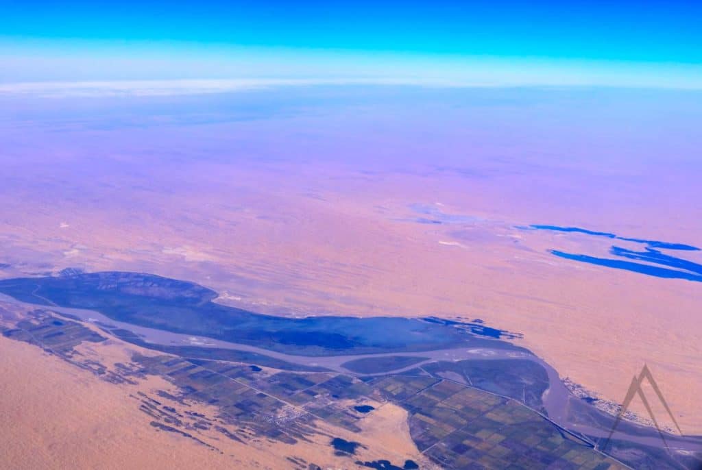
During its long journey the river passes cities like Termez, Turkmenabat, Urgench (Khiva), Nukus of Karakalpakstan and finally Moynak, where the river used to earlier meet the waves of Aral Sea. But it needs to be said though that Amu Darya has changed its course many many times throughout the history and was actually not flowing to Aral Sea previously only few hundred years ago but had a more southern path at least partially straight to the Caspian Sea.
Nevertheless, Southern Uzbekistan and Northern Turkmenistan would be a barren desert without the waters of Amu Darya as can be very well seen from the ruins of cities that were located along the former paths of the river like Konye Urgench in current Turkmenistan. This risk was also very well recognized by the ancient and medieval civilizations living along the river. They have been therefore fighting already for long to make sure that the Amu Darya waters will flow to irrigate the farmlands with dams and channels that were the basis for the vast, mostly Soviet design channel network of today. First signs of the irrigation networks in the Samarkand area go back to ancient times.
Amudarya State Biosphere Reserve
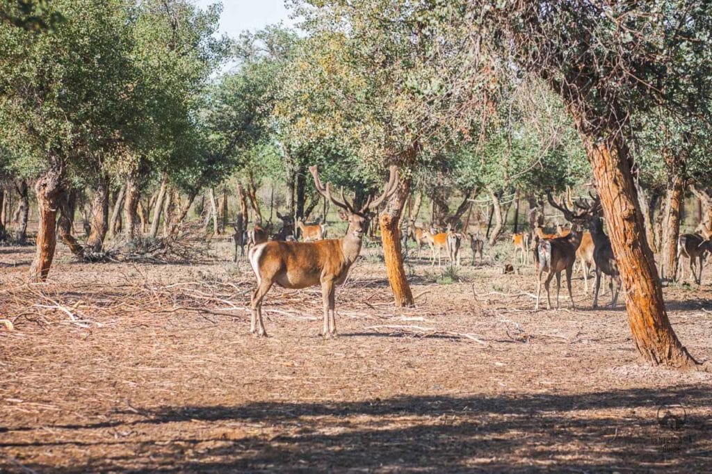
The Lower Amu Darya (Nizhne Amudarya) State Biosphere Reserve was founded in 2011 as a joint project of Karakalpakstan, the United Nations Development Program and the Global Environment Facility “Conservation of tugai forests and strengthening of protected area systems in the Amudarya River Delta in Karakalpakstan.”
The total area of the biosphere reserve including the buffer zone and intermediate zones is 68 717.8 hectares and The flora and fauna of the reserve are very rich. The inhabitants of the reserve include for example the eared hedgehog, dwarf bat, Tolai hare, midday gerbil, jackal, wild boar, badger and the reacclimatized Bukhara deer that once inhabited the basins of the Amu Darya and lower Syr Darya rivers. The reserve also includes several historical objects such as the Chilpik Dakhma, Several Karakalpak fortresses and ancient or medieval settlements.
Sights & destinations near Amu Darya
Page updated 29.4.2023