Chon Kemin
Chon Kemin
Chon-Kemin is located 148 km east from Bishkek. It lies between the two branches of the Tian Shan mountain range separating Kyrgyzstan in the south and Kazakhstan in the north. Chon-Kemin is a common name for an area that includes the Chon Kemin valley that turns slowly into a mighty gorge, a powerful river and even a National park.
The gorge of Chon Kemin starts from the edge of the Chui valley and extends all the way to the shores of Issyk-Kul Lake (some mountains need to be crossed though) and is considered the longest gorge in Kyrgyzstan, stretching for about 100 km. The narrow gorge part is at its eastern part that slowly expands, creating a wide valley in the central part and again closing at the western end. The valley starts with a height of 1400 meters in west and rises being at 2800 meters in the east. The fast-flowing Chon-Kemin river flows for 116 kilometers before joining the Chu river. There are also some villages in the more wide part of the valley where the land is more flat, fertile and largely covered by fields.
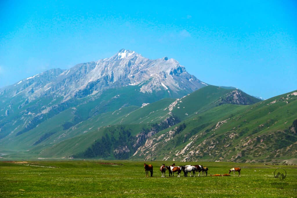
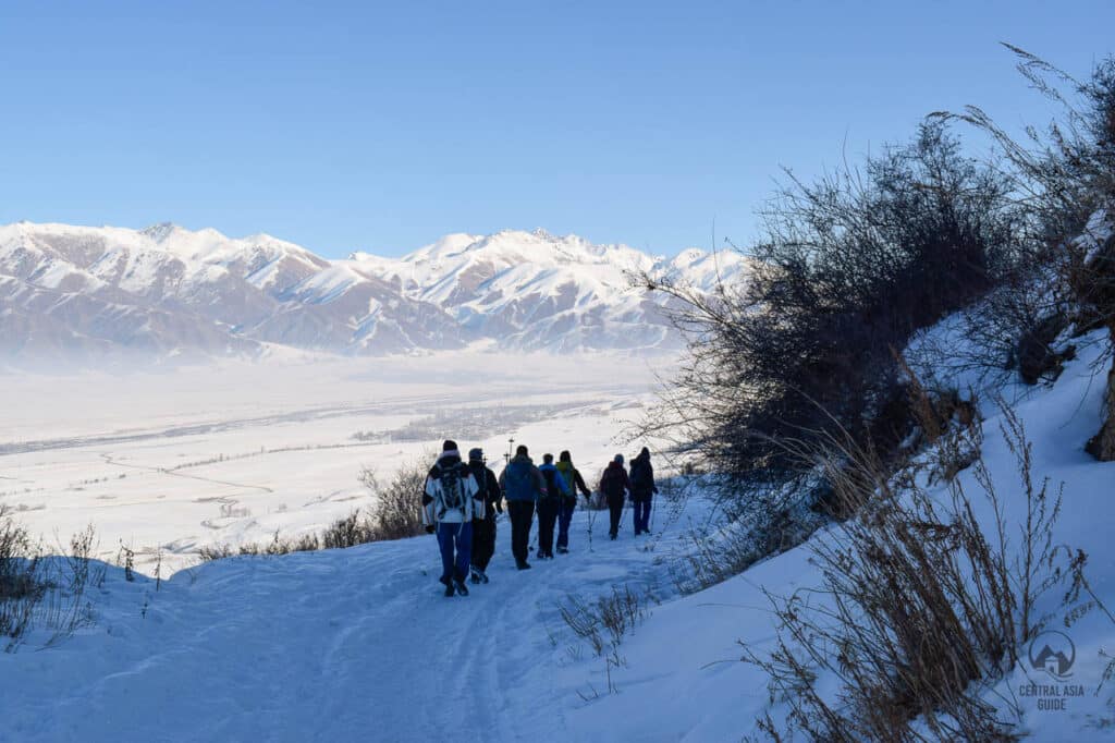
Most of the people in Chon Kemin rely on agriculture and animal breeding. There are also a lot of fruit trees growing in the valley giving more income for the local residents and making the valley very beautiful in the spring time with the white and pink flowers blooming. The Chon Kemin river is a popular place for rafting fans as it is one of the slower flowing rivers in Kyrgyzstan. Chon Kemin Valley is also interesting for people searching for activities like such as hiking, fishing or horseback riding as it offers great locations for them in the mountain forests surrounding the valley. Eagle hunting demonstrations are also often organized in this valley.
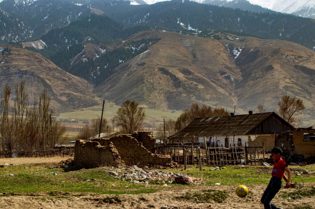

Chon Kemin National Park
Chon-Kemin National Park was founded in 1997. It holds rare animals such as snow leopard, Turkestan lynx, deer, and Tien-Shan bear. Among the birds there are 7 species of birds such as black stork, Saker Falcon, Lammergeier, Golden eagles, and the most famous one being the ibisbill listed in the international red book. The 500 hectares area of the national park has lots of coniferous and mixed forests. The territory of the park is well protected and entrance fee to the national park is 400 som.
Ak-Tyz Ski Base
Ak Tyz Ski Base located in the territory of the Chon-Kemin and it has been opened fairly recently. There are Austrian cable cars – 1 700 meters for double chairlifts and 1 000 meters for draglines. The length of the drag track is 1 kilometer and 700 meters, the main one is 2 kilometers and 1300 meters. The maximum height is 2500 meters above sea level.
Chok-Tal Peak
The Chok-Tal mount is the highest peak in the Kungey Ala-Too mountain range. The upper part of the ridge is crowned by the snow-white four-domed Choktal massif with the height of about 4771 m.
Chon Kemin Glaciers
Chon Kemin has more than 109 glaciers in the basin. The largest glaciers are the Zhangyryk – 8.9 km, South Zhangyryk – 8.0 km, At-Jailoo – 7.6 km and Novy – 6.4 km.
Tours including Chon Kemin
Chon Kemin Lakes
Zhashyl-Kol lake
The lake is located at an altitude of 3120 to 3450m above the sea level according to multiple sources. This magnificent mountain lake shines in the light of the sun’s rays, like an emerald. From a distance, it looks green, but the water is crystal clear. The lake is located among high mountains, the origin is moraine-dammed. Zhashyl-Kol means “green lake” translated from Kyrgyz.
The valley is fabulously rich in forests such as coniferous, formed by the relict spruce of the Tien Shan; mixed, where aspen, willow, birch coexist next to the spruce; floodplain, dominated by sea buckthorn shrubs, deciduous trees. The coniferous forest, stretching in the territory from 1700 to 3200 m, makes the air of the valley healing, and the abundance of mushrooms, berries, medicinal herbs will brighten up any rest.
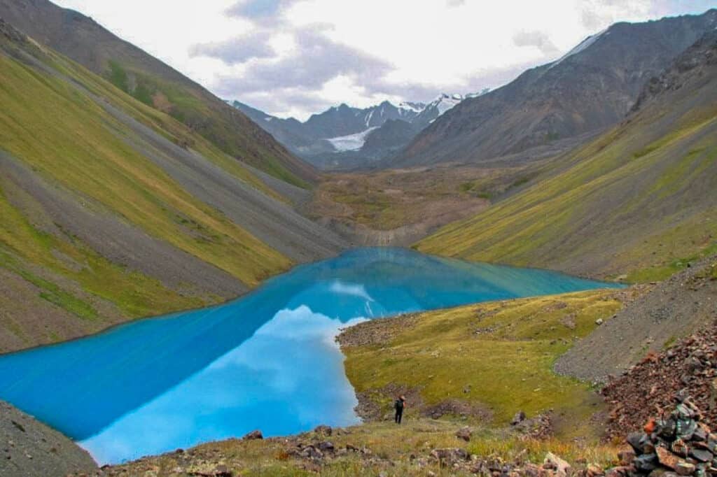
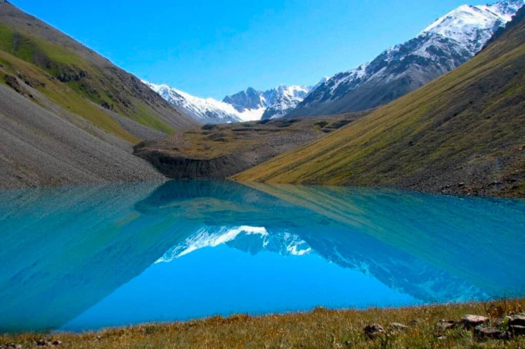
Kol-Kogur lake
Lake Kel-Kogur (also known as Kel-Ter) is located at an altitude, according to various sources, from 2420 to 2465 meters above sea level on the northern slope of the Kungei-Ala-Too ridge. This lake covering an area of about 16 ha is truly gorgeous. Lake Kel-Kogur belongs to the Chong-Kemin river basin at a range of 17,5 km from Shabdan village. The lake is spread from north to south and in the north end there is a natural dam, which was formed as a result of a mountain collapse. The western shore of the lake is covered with spruce forest while the eastern shore is grassy. The Kel-Kogur river flows out of the lake and becomes the left tributary of the Chong-Kemin river. The lake with clear bluish water is located in a picturesque wooded area and is one of the most beautiful mountain lakes of the Northern Tien Shan.
It requires more than a day to reach Kol Kogur due to the distance. You need to cross Chon-Kemin river and take a path along the old road up to the lake. From Chon-Kemin river, you need to walk up to the lake about 3 km, however, in some areas due to the lack of any bridge, you need to walk two times longer from the ranger’s house located upstream of the river. There a cable car with a trolley can be used to cross the river. You can also go beyond the bridge, which is much lower downstream, next to Tehgirmenti village, although in this case, the path to the lakes becomes 3 times longer, about 21 km.
Travel to Chon-Kemin
Chon Kemin can be reached the cheapest by taking marshrutka 309 from the Eastern Bus Station in Bishkek for about 150 som. The buses leave every hour from Bishkek and from Cholpon Ata through the Kek-Ayrik pass in the summertime. There are several traveler paths to the numerous mountain paths linking Chon-Kemin with Issyk-Kul, of which the most well-known, biggest and safest is the Kek-Ayrik pass from where to road also goes to Kazakhstan arriving nearby the big Almaty lake in the North side of the Tien Shan mountains (not open for tourists). There are hiking and horse rides to several small lakes and a long cycling route as well in the Chon Kemin.