Engels Peak
Engels Peak, Tajikistan
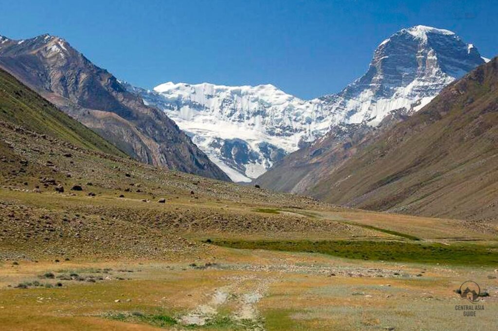
Engels Peak, rising to 6 510 meters (21,361 feet), is a striking landmark in the Shakhdara Range of the Pamir Mountains and its meadows are one of the most popular trekking routes to be included in the Pamir highway tours. The more experienced ones can also climg the peak. Nestled in the remote wilderness of the Pamirs, it lies near Khorog, the administrative hub of Tajikistan’s Gorno-Badakhshan Autonomous Region (GBAO), close to the Afghanistan border. Its sharp, pyramid-shaped summit and untouched natural beauty make it a prized destination for high-altitude mountaineers.
The peak takes its name from Friedrich Engels, the 19th-century German philosopher and Marxist thinker, reflecting the Soviet-era legacy in the region. Surrounded by vast glaciers, Engels Peak offers a breathtaking yet challenging experience.


Engels peak Meadows hike
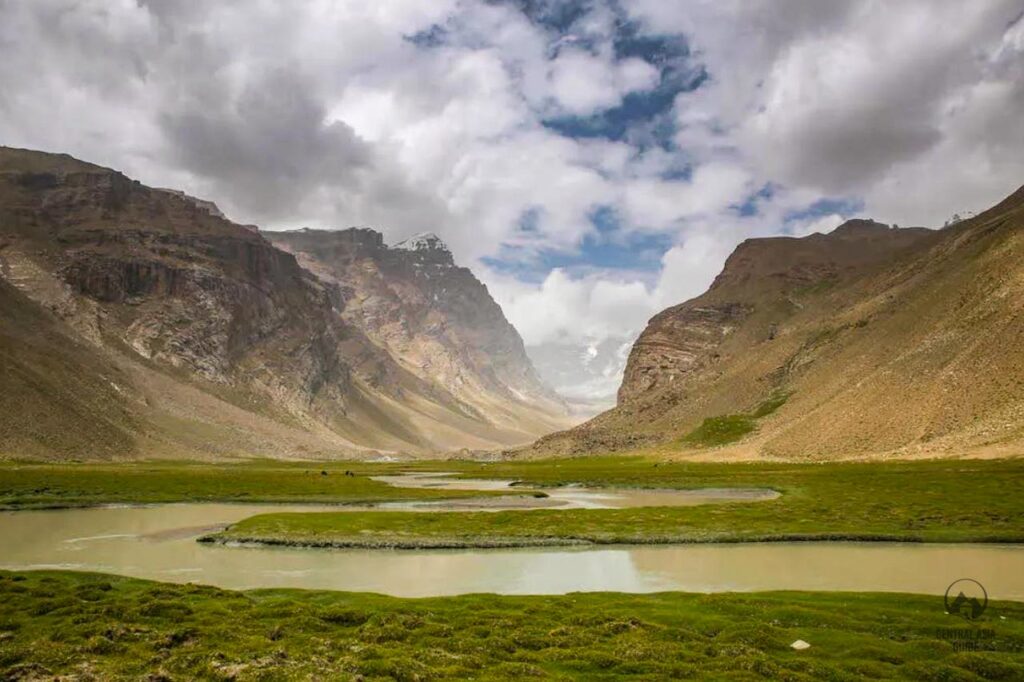
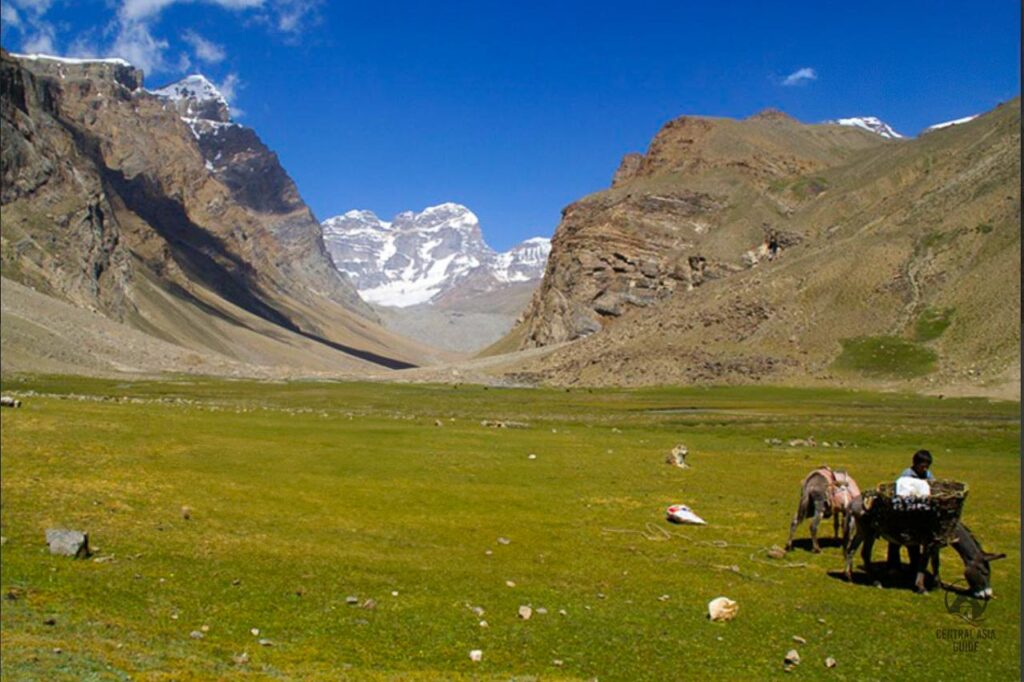
The Engel’s Peak Meadows hike takes you to a green meadow just below 4000 m where you can admire views of Engel’s Peak and the Hindu Kush mountains behind you. The Engel’s Peak Meadows hike can be done as a one or two day trek. Engel’s Peak Meadows hike is a moderate hike without any technical or particularly difficult parts except the altitude and the altitude gain from about 3200 m to about 4000 m. If you haven’t properly adjusted to being at a higher altitude it can be pretty exhausting and it is therefore recommended to spend some time in at least about 3000 meters altitude to acclimatize before taking this hike.
Depending on which village you start and end in, the Engel’s Peak Meadows hike is approximately 20 km there and back from the beginning of the trail near Dirch and it can take from 6 to 12 hours depending on the fitness and experience of the hikers. The hike can be also started from Zong or Langar which adds few hours and steep climb to the total hiking duration so it is best to leave early if you wish to make it in one day.


Engels peak Meadows hiking trail
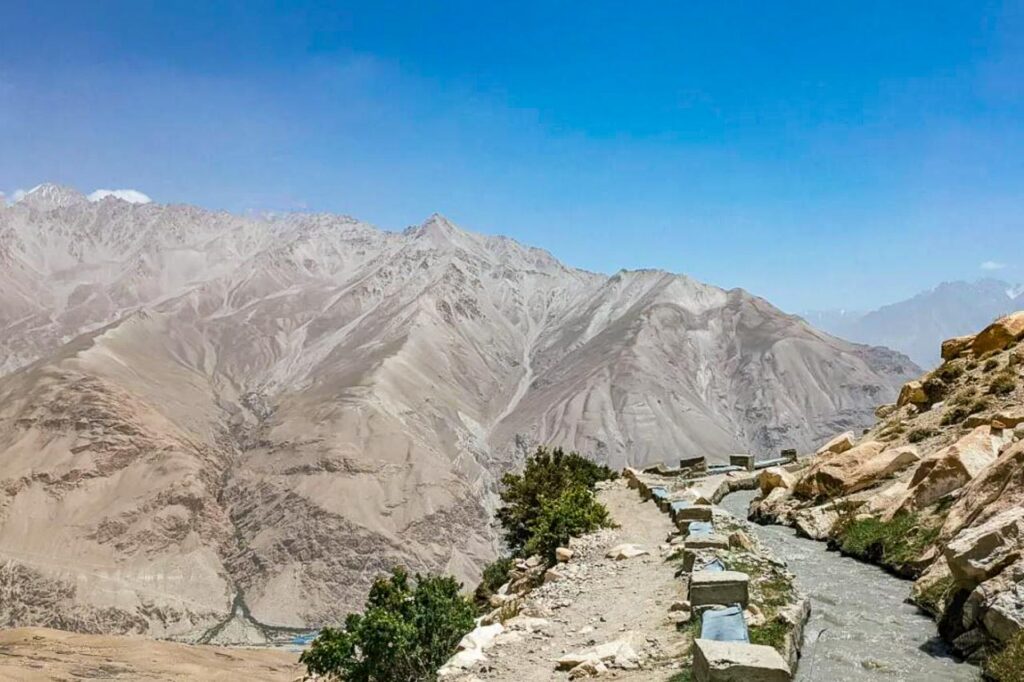
The first hour of trek towards the Engels Meadows is all uphill as the path goes as serpentine upwards to the mountain with amazing views of the Wakhan Valley, Afghanistan Wakhan Corridor and the majestic Hindu Kush mountains. It is not uncommon to meet some shepherds at his part of the trail. Afterwards, the trail continues around the edge of the mountains for about 45 minutes where you get the first glimpses of Engel’s Peak in the distance. The trail starts to incline again until eventually you reach the river which ultimately leads to the Engels Peak Meadows.
After going up for about an hour, the path flattens out and winds around the side of the mountain for an hour or so alongside an irrigation canal. with a sharp drop next to it. The path then turns to the left and heads into the valley between the two mountains. There is a nice spot for a break and a snack before you head into the actual valley. This is also the spot to use for camping if you wish to do the trek in two days.
Climbing Engels Peak
Actually climbing the Engel’s Peak is a challenging expedition for experienced hikers with a summit of 6510m. There are professional group tours that do the Engel’s Peak summit but it’s not something that you can do on your own. Engels Peak offers the challenges typical of high-altitude environments, including extreme cold, unpredictable weather, and year-round snow. The best time to climb is between July and August, when conditions are relatively stable.
Climbing Engels Peak is a technically demanding endeavor, requiring expertise in high-altitude mountaineering, ice climbing, and glacier navigation. The most common route is via the Northwest Ridge, which involves navigating a mix of rock, snow, and ice. The peak’s remote and rugged location adds to the logistical challenges, as most expeditions begin in Khorog and involve several days of trekking to reach the base camp.
Climbers heading to Engels Peak should come well-prepared, as its remote location offers minimal local resources. It’s essential to bring all necessary supplies, including high-altitude gear, to ensure safety and self-sufficiency. Hiring local guides or mountaineering services is strongly recommended for both safety and logistical support, as their expertise can be invaluable in navigating the challenging terrain. Given the limited infrastructure and communication in the region, carrying a satellite phone is advised to maintain connectivity in case of emergencies.
Other Sights and Destinations in Pamir
Page updated 22.11.2024