Bartang Valley, Tajikistan: Travel Guide
The wildest road across the Pamirs: some 25 villages, homestays and some of the best hikes in Tajikistan between Rushan and Lake Karakul.
About the Bartang Valley
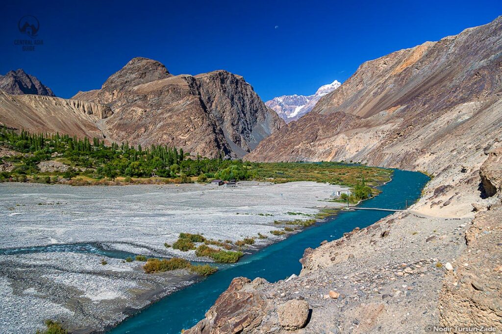
The Bartang Valley is one of the wildest and most beautiful ways across the Pamirs: about 300 km of rough road from Rushan on the Panj River, past some 25 villages, up to Ghudara and over the Kök-Jar Pass to the Pamir Highway near Lake Karakul. Expect bad roads, landslides, river crossings and some of the warmest hospitality in the Pamirs. Cyclists love the Bartang because it is by far the shortest way between Lake Karakul and Rushan, but the valley can also be explored by 4×4, and its side valleys are among the best trekking areas in Tajikistan.
Tours visiting the Bartang Valley
The tours below include the Bartang Valley, among them our Sarez Lake trekking tour. Like the rest of Gorno-Badakhshan, the Bartang needs a GBAO permit, and Sarez Lake a separate permit on top of it.
10 days
Pamir Highway and Bartang Valley Tour from Dushanbe
A 4x4 loop along the Afghan border to Khorog and the Wakhan, on to Karakul Lake and back through the Bartang Valley.
- Culture
- Hiking
- +2
Starts in Dushanbe Private departures on request
9 days
9-Day Pamir Highway Tour from Osh to Dushanbe
Car with an English-speaking driver; homestays and meals paid locally (about 30 USD a day)
- Culture
- Hiking
- +3
Starts in Osh Next departure 09/05/2027
9 days
9-Day Pamir Highway Tour from Dushanbe to Osh
Car with an English-speaking driver; homestays and meals paid locally (about 30 USD a day)
- Culture
- Hiking
- +3
Starts in Dushanbe Next departure 04/05/2027
6 days
Sarez Lake Trekking Tour
By 4x4 along the Panj River and the Afghan border, then a two-day trek in the Bartang Valley to remote Sarez Lake.
- Culture
- Jeep (4x4)
- +2
Starts in Dushanbe Private departures on request
12 days
Pamir Grand Tour
Tulpar-Kol, Karakul, Murghab, Bulunkul, the Wakhan Valley, Khorog and a trek to remote Sarez Lake in the Pamirs.
- Culture
- Hiking
- +3
Starts in Osh Private departures on request
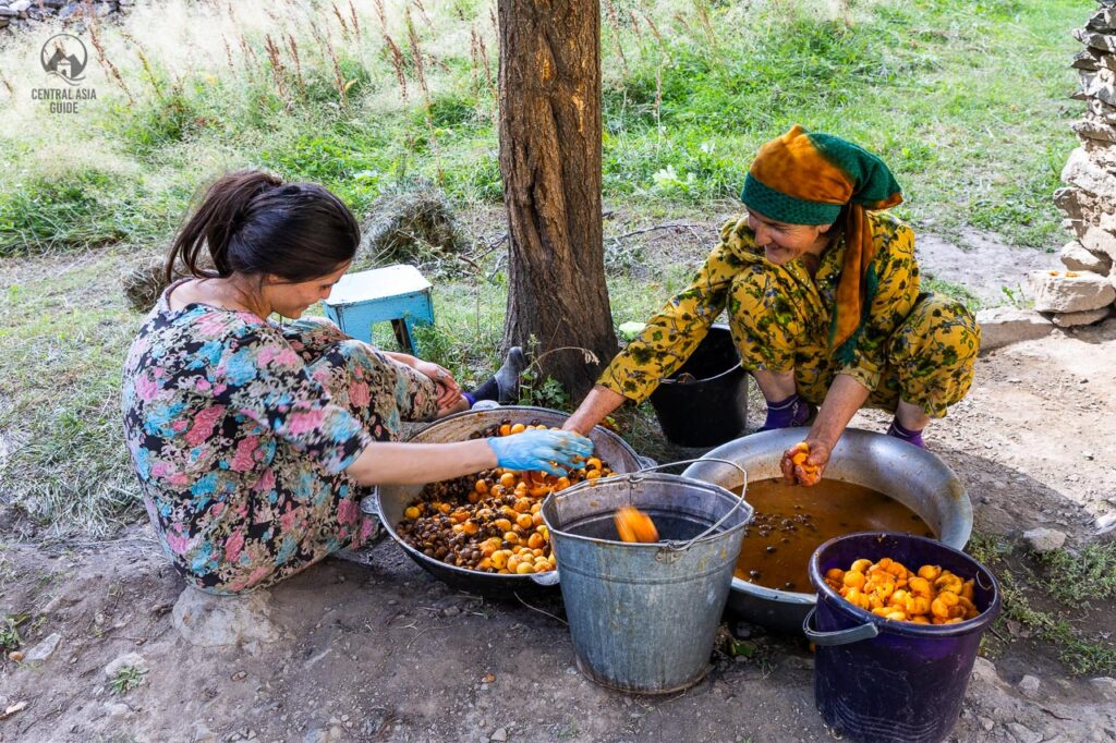
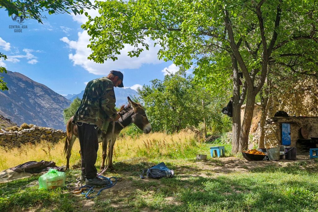
You might also notice the Bartangi dialect spoken in the Bartang Valley villages. This language is similar to Shughni but different from the Tajik spoken in the west. Each village in the valley can even have its accent compared to the next. Bartangi people are some of the friendliest you’ll meet in the Pamir, so don’t be surprised to receive a lesson in basic Bartangi upon making a new friend with a cup of tea, dried apricots and nan bread. Bartang Valley is included in some of our Tajikistan Tours.
Bartang Valley Sights
Bartang fortresses & shrines
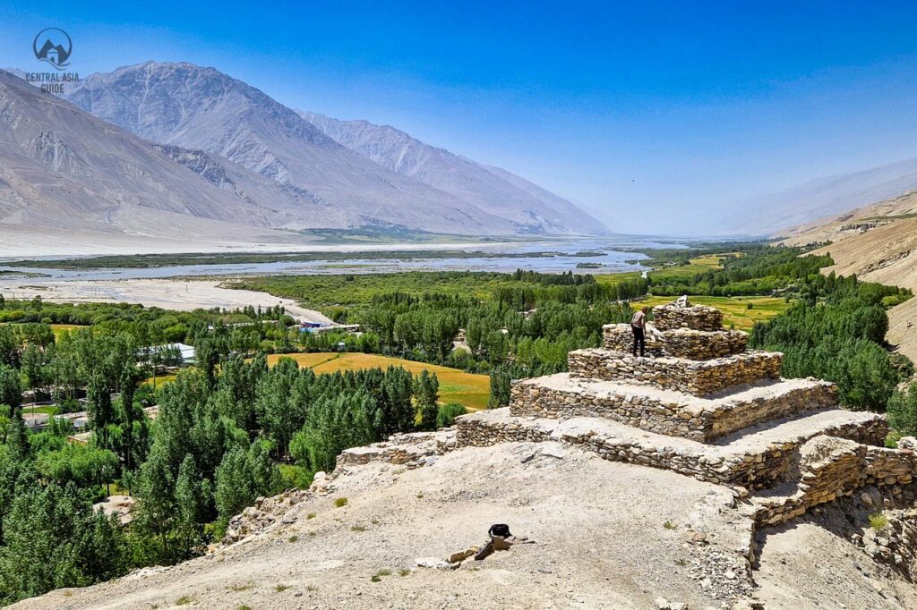
Traders and raiders have used the Bartang for centuries, and several villages still have the ruins of their fortresses, though they are less dramatic than those of the Wakhan Valley on the main Silk Road. There are fortress ruins at Vamar (Rushan), Yemts, Visav, Roshorv, Nisur – almost destroyed by the 1911 earthquake – and Savnob. Shrines (mazor) are found in nearly every village, among them Mushkilkusho in Yemts, the tomb of Bobo Alisho in Siponj, Khoja Nuruddin in Basid and the shrines of Ravmed and Bardara. Above Siponj and Rukhch there are caves where villagers hid from raids by Kyrgyz nomads and Afghan slave traders.
Bartang Valley Petroglyphs and Geoglyphs
The Pamirs are rich in rock art, and the Bartang has its share: carvings of ibex, hunters and sun symbols left by the people who lived in and travelled through the valley long ago. There is no single big site in the Bartang – petroglyphs are reported near Siponj and in the side gorges around it, so keep your eyes open while hiking. Beyond the Kök-Jar Pass, on the track to Lake Karakul, the Shurali geoglyphs are lines of stones on the plateau that are thought to have worked as a solar calendar.
Villages of the Bartang
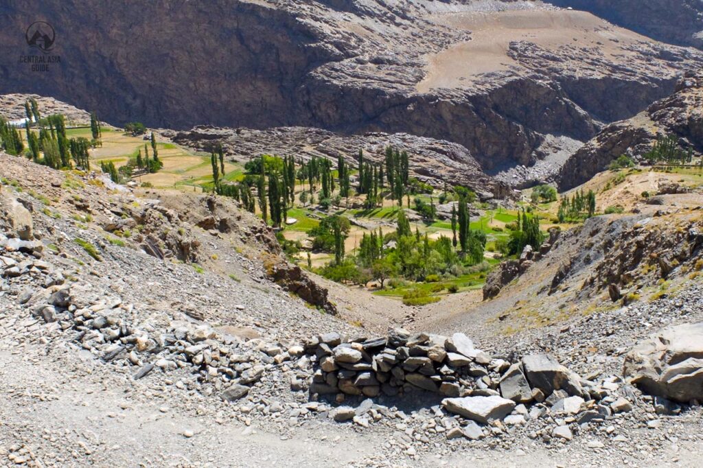
About 25 villages line the Bartang and its side valleys, small green oases between bare rock walls. Below they are listed in road order from Rushan, with the hikes that start from each; the road distances are approximate.
Rushan
Rushan (about 2,000 m), also called Vamar, is the district centre on the Panj River and the Pamir Highway, about 65 km north of Khorog and close to where the Bartang joins the Panj. It is the gateway to the valley, with the ruins of the Vamar fortress. Get cash and fill up here – above Rushan there are no banks and fuel only in Shujand and Dasht.
Shujand, Yemts and Baghu
The first villages above Rushan are Shujand (about 9 km, fuel and a couple of shops) and Yemts (Emts, about 15 km), with the Mushkilkusho shrine, the ruins of a small fortress and a homestay. A few kilometres on, Baghu (about 20 km) has a homestay as well. Across the river lies Rid, a hamlet abandoned after a flood in 2012.
Jizev (Jizeu)
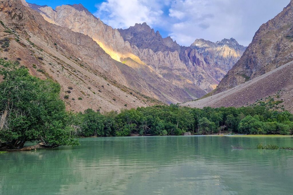
Jizev (Jizeu, on old maps Geisev) is the classic first hike of the Pamirs. There is no road: from a suspension footbridge over the Bartang about 25 km from Rushan, a path climbs about 500 m up the green Jizevdara valley to the hamlets of Chadin, Boghjingal and Barukhtin, strung along a chain of turquoise lakes. The walk takes 2–3 hours up and stays well below 3,000 m, so it suits travellers who have just arrived at altitude. Most houses in the village take guests, and a night in a Jizev homestay is the best part of the trip – but the walk also works as a day trip from the road.
Upper lakes. From the top hamlet a path continues past the lakes Nayanikul and Shapinkul (also called Tsakinkul) to Kokenbaus, the highest lake at about 2,800 m – about 4 km and 1.5–2 hours one way, with some rocky and steep parts. Reaching the upper lakes and getting back to the road on the same day is only possible for fast, fit walkers, so plan a night in Jizev.
Over the passes. Experienced trekkers can continue from Jizev over the Ravmed Pass (about 4,200 m) to Ravmed in two strenuous days, or over the much harder Rozhak Pass (about 4,880 m, with glacier travel) into the Gunt valley. Both need a guide; pack animals can be arranged in Jizev.
Khijez and the Ravmed valley
About 9 km past the Jizev footbridge, Khijez has homestays and is the turn-off for the Ravmeddara side valley – not to be confused with Jizev, a different village back down the road. A dirt road runs about 17 km south up the valley to Ravmed (about 2,900 m), a remote village with a shrine and the end of the Ravmed Pass trek from Jizev. From Ravmed experienced trekkers walk on for several days towards the meadows and lakes below Patkhor Peak (6,083 m) – a trek for a guide, not a day hike.
Dasht, Visav and Siponj
About 40 km from Rushan, Dasht (homestay, shop and fuel) and Visav, with the remains of a 19th-century fortress, face each other across the river. A few kilometres on, Siponj is the main village of the lower Bartang – locals sometimes simply call it Bartang. Look for the tomb of Bobo Alisho near the school and the caves above the village, where people once hid from slave raiders. Siponj has several homestays, and petroglyphs are reported in the gorges nearby – ask your hosts for the way. Further up, Darjomj and Razuj, about 55 km from Rushan, both have a small shop.
Basid and Chadud
Basid (about 2,350 m, some 85 km from Rushan) is the main village of the middle Bartang, with homestays and the Khoja Nuruddin shrine, built on a rock and decorated with carved wooden beams. The minibuses from Khorog come up as far as Basid, and above it there is mostly no mobile signal. Chadud is only a few kilometres further along the road – an easy walk from Basid.
Bardara
A few kilometres past Chadud a track of about 9 km climbs into a side valley to Bardara (about 2,800 m), a village with homestays and two shrines; walking up the track makes a good day hike from the road. Bardara is also the start of one of the big treks of the Pamirs: about a week over the Shteklozar Pass (about 4,800 m, with snowfields) to Bachor in the Gunt valley – for experienced trekkers with a guide, best from July to early September.
Yapshorv and Roshorv
About 117 km from Rushan, Yapshorv has a homestay and the Khoja-i-Shayuz shrine. From here a 7 km side track climbs to Roshorv, on a plateau at about 3,000 m above the river, with the ruins of a 19th-century fortress and a view of Peak Lapnazar (5,990 m). Behind Roshorv a valley leads north towards Independence Peak – see the hikes below.
Nisur and Savnob
Nisur (about 126 km from Rushan), just off the road, has the ruins of a fortress that the 1911 earthquake almost destroyed; the side road to Barchadev turns off here. Savnob (about 2,650 m, 135 km) is the centre of the upper Bartang and home to the crumbling Savnob fortress, known in the 19th century as Tashkurgan, the “stone tower” – worth the short climb if you pass by. Savnob has homestays and lies right by the road. Close to the village the Ghudara river joins the Murghab coming out of Sarez Lake, and from here on the river is called the Bartang.
Barchadev
About 12 km off the road from Nisur, Barchadev (Barchidiv, about 2,650 m) lies on the Murghab river below the Usoi dam. It is the starting point of the trek to Sarez Lake, and visitors stay with local families – see the Sarez trek below.
Rukhch, Bopasor and Pasor
Rukhch, about 12 km past Savnob, is known for the caves where villagers sheltered from Afghan and Kyrgyz raiders. Further up, across a bridge from Bopasor, lies Pasor (about 3,000 m), the start of the Khafrazdara valley trek to high lakes and the Grum-Grzhimailo Glacier. Donkeys with a handler can usually be arranged in Pasor.
Ghudara
Ghudara (Gudara, about 3,000 m, some 165 km from Rushan) is the last village of the Bartang, with a homestay. Above it the track follows the Tanymas river north and climbs over the Kök-Jar Pass to the high plateau and on to Lake Karakul. Ghudara is also the start of the high route on foot to Murghab – about 180 km over passes up to 4,770 m, an expedition for very experienced trekkers rather than a trek.
Hikes and treks from the Bartang villages
Jizev is the easy classic; most other hikes in the Bartang are long, high and remote. Beyond Jizev a guide is strongly recommended: the paths are unmarked, rivers have to be waded and there is no mobile signal. The best season is July to mid-September. Everywhere you need the GBAO permit; the Sarez trek needs a special permit as well, and the upper valley is partly in the Tajik National Park, which charges a daily fee. The hikes with a mapped trail are drawn on the map below.
Towards Independence Peak from Roshorv
Independence Peak (Qullai Istiqlol, 6,940 m; older sources give 6,974 m) is the highest summit of the Yazgulem range and one of the highest peaks of the Pamirs. In Soviet times it was called Revolution Peak; it got its present name in 2006. From Roshorv the Yazgulomdara valley leads north towards the peak. The summit is more than 20 km away, so this is a long day or an overnight hike up the valley for the views rather than a walk to a climbers’ base camp; experienced trekkers can continue over the Khurjin Pass (about 4,800 m) into the Yazgulem valley. The route is not marked – go with a local guide.
Sarez Lake trek from Barchadev
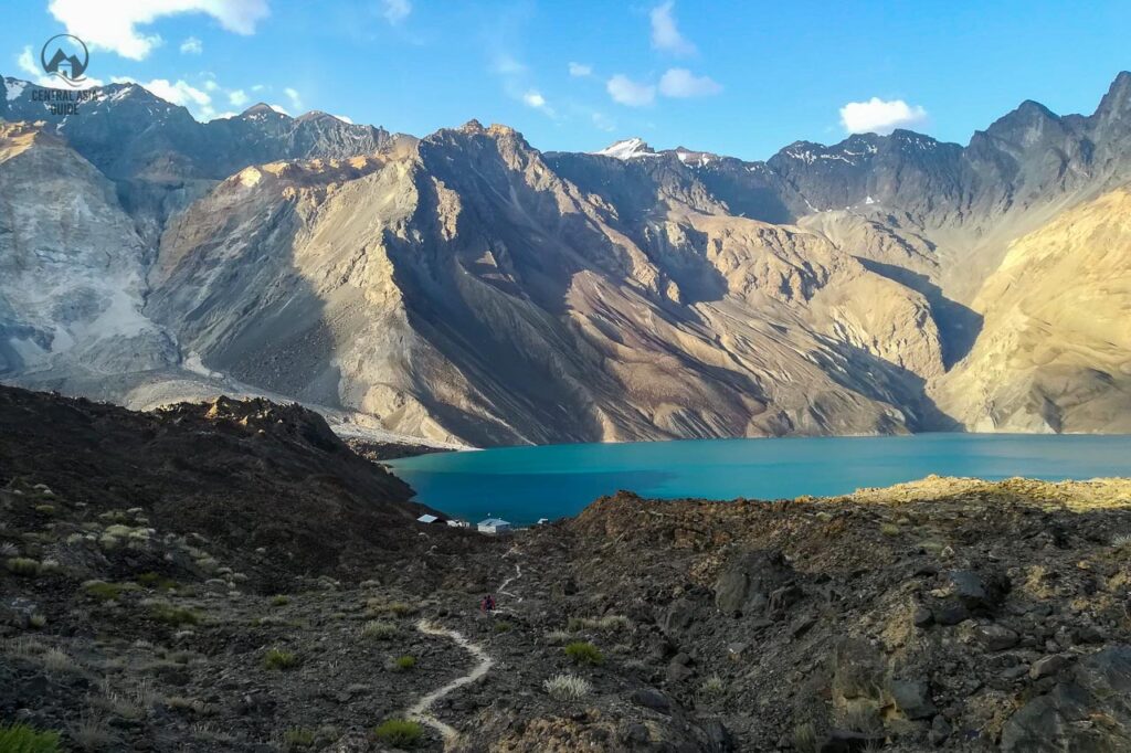
Sarez Lake formed in 1911, when an earthquake brought down a whole mountainside into the Murghab valley. The landslide, the Usoi dam, is the highest natural dam in the world, and the lake behind it is about 56 km long; because a failure of the dam would flood the valleys downstream, it is closely monitored. From Barchadev a trail crosses the river and climbs about 15 km to the Usoi Pass (about 3,450 m) on top of the dam, with views over Sarez and the smaller Shadau lake – 9–10 hours each way, usually done in 2 days with a night by the lake. Sarez needs a special permit on top of the GBAO permit. It is issued in Dushanbe, in practice only through licensed tour companies, and a guide is required, so plan well ahead. Our Sarez Lake trekking tour includes this trek; more about the lake on the Sarez Lake page.
Khafrazdara lakes from Pasor
From Pasor a path follows the Khafrazdara (Khavrazdara) valley north. The lakes at about 4,000 m are some 24 km from the village – plan 1–2 days there and back. The trail is long but not technical; side streams can be waist-deep in the afternoon and the nights are cold. Donkeys with a handler can usually be arranged in Pasor, and a guide is recommended if you are not an experienced trekker.
Grum-Grzhimailo Glacier
Beyond the Khafrazdara lakes the route crosses the Kholodny (“Cold”) Pass, about 4,660 m, to a viewpoint over the Grum-Grzhimailo Glacier, about 34 km from Pasor. The glacier is some 37 km long and flows from the slopes of Independence Peak. Allow 3–4 days for the round trip from Pasor; this is for fit, acclimatised trekkers with a guide.
Kök-Jar Pass and the road to Karakul
Above Ghudara the track follows the Tanymas river and then zigzags steeply up the Kök-Jar Pass (about 3,800 m) onto the high plateau of the eastern Pamirs – a spectacular and in places frightening drive. At the pass there is a small forest and the site of a meteor crash. From the top it continues past the Shurali geoglyphs and through the Kokuibel valley to the Pamir Highway about 20 km south of Karakul village, roughly 300 km from Rushan in all. This upper section is the hardest part of the Bartang road: boulders, landslides and river fords can close it, the snow usually clears only by late June or July, and the fords are best crossed early in the morning, before the meltwater rises. Check the current state of the road locally before you go.
Travel to Bartang
If the Pamirs are the most adventurous corner of Central Asia, the Bartang is the most adventurous corner of the Pamirs – a trip for travellers looking for something off the beaten path. The road starts at Rushan on the Pamir Highway, about 65 km north of Khorog and a day’s drive from Kalai Khum. A 4×4 can drive the whole valley to Ghudara and on over the Kök-Jar Pass to Lake Karakul, or come in from Karakul by turning west south of the lake.
- Best time: mid-June to September. Avoid spring, when avalanches, landslides and meltwater floods cut the road; the upper road to Karakul is usually open only from late June or July.
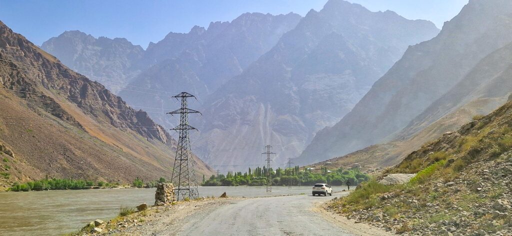
- Road: unpaved, narrow and rocky, with scree slides and river crossings. You need a 4×4 and an experienced driver, and sometimes you have to wait for a river to drop.
- Without a car: shared taxis run from Khorog to Rushan, minibuses go from Khorog up to Basid most days, and shared cars occasionally go as far as Pasor. For Jizev, take a taxi from Rushan to the footbridge and arrange the pick-up in advance.
- Permits: the GBAO permit for the whole valley, a special permit for Sarez Lake, and a daily fee in the Tajik National Park in the upper valley.
- Money and fuel: bring cash; fuel only in Rushan, Shujand and Dasht.
- Phone: patchy coverage in the lower valley, mostly none above Basid.
- Where to stay: homestays in most villages, usually with dinner and breakfast.
Map of the Bartang Valley
The villages of the Bartang from Rushan to Ghudara and the Kök-Jar Pass, with the hikes that follow a mapped trail: the Jizev trail and upper lakes, Barchadev to the Usoi dam on Sarez Lake, and the first part of the Khafrazdara valley from Pasor. Click a marker or a trail for details.
Destinations and sights near Bartang Valley
Written by Anssi Karppinen, Central Asia Guide · Page updated