Gorno-Badakhshan Autonomous Oblast
(GBAO)
Gorno-Badakhshan Autonomous Oblast (GBAO)
The Gorno-Badakhshan Autonomous Oblast is the official name of the Tajik half of the region of Badakhshan, the other, southern half being in Afghanistan. It is divided from Afghanistan through the Pyanj River and the Wakhan Valley in the south, borders China in the East as well as Kyrgyzstan and Uzbekistan in the North and West. The region (oblast) is almost completely mountainous, holding essentially no fertile land outside the areas suitable for a family sized garden farming.
The GBAO region consists of the largest mountains in the Pamir and Tien Shan ranges up to 7 500 m (26 000 ft). The most popular and well-developed route in the region called the “Pamir Highway“, runs from Osh in Kyrgyzstan to Dushanbe. Yet this route is mostly unpaved and difficult to travel. To enter or leave GBAO one must cross this highway that has multiple passes of altitudes reaching 3 000 – 4 600 m. A special permit is required to travel the Gorno Badakshan area that will be provided for you with all our Pamir tours. The capital of the region is Khorog.
GBAO History
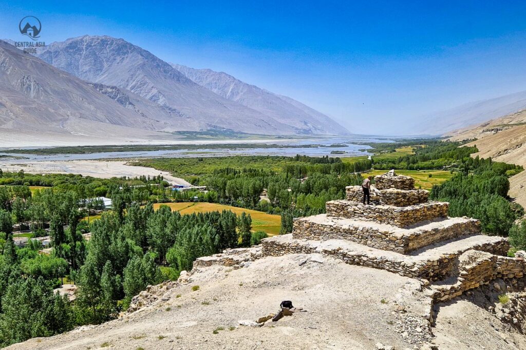
The ancient residents of the GBAO belonged to Proto-Iranian cultures and were for a time ruled by the Scythians. The armies of Alexander the Great tried conquering Badakhshan around 250 B.C, and though their reign was short-lived, they built many forts and towns, which can still be visited. Heir of his soldiers settled in the area, and residents of the Wakhan and Pyanj valleys proudly claim Greek lineage to this day. GBAO was later a member of many empires, including the Arab caliphate (which introduced Islam) and the Samanids Empire. It forms the historical basis of the modern Tajik State. The region was one of the last to be conquered by the Russian Empire during the Great Game time, in 1895. It was a vassal of Russia until invaded by Soviet troops in 1920.
In 1925, Gorno-Badakhshan Autonomous Oblast was officially formed. In 1929, it fused with the Tajik Soviet Socialist Republic. Some things changed in the high mountain areas during Soviet rule, though many ethnic Pamiris were forcibly relocated to southwest Tajikistan. The province was heavily involved in the Tajik civil war of 1992-1997, during which it declared independence and suffering terrible losses. As a result, the province was given nearly absolute autonomy, to end the war and stop the breakup of Tajikistan. However, today the area is completely peaceful but the recent oppressive acts from Dushanbe have not been met well by the locals.
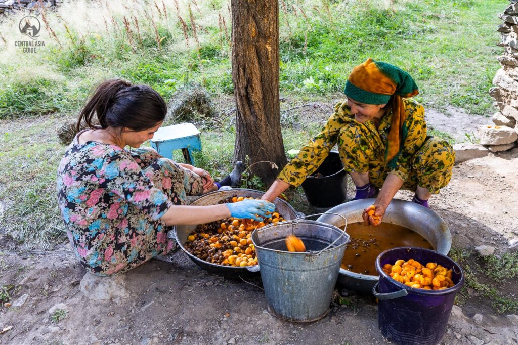
GBAO Population
The people living in the Gorno-Badakhshan Autonomous Oblast are known as Pamiri. Pamir people are ethnically and culturally close to the Tajik people. They speak many different dialects of the Persian language. Although the province makes up 45% of the land area of Tajikistan, it represents only 3% of the population (about 200,000). The people density is also extremely low at one person per 2.5sq km. Economic activity is mostly related to livestock herding and mining. Most Pamiris and Kyrgyz here live a sustenance lifestyle. It is entirely autonomous from the central Tajikistan government, having its police, military, and tax systems. Its capital is Khorog.
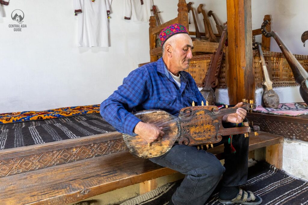
GBAO Culture
Pamiris belong to the Persian ethnic group linked to the Tajiks. From whom they believe themselves separate, partially this is due to their mountainous lifestyle and separate language. In addition, there is a large mix of people and ethnic diversity for centuries, as endless number of civilizations and empires have been wandering and trading along these roads, commonly known as the Silk Road. Essentially Pamiris are primarily Sunni Muslims, whereas most Tajiks are Shi’a Muslims.
You might also notice the large group of Kyrgyz, not Tajiks, an ethnic group with heavy Mongolian features, while Tajiks are closer to Iranians and Afghans. Pamiris language is Tajik which is a dialect of Persian. Their culture is quite similar to that of Tajiks, sharing the same basic cuisine and domestic life but are in general more hard working and very interested in studying, arts and craftsmanship in addition to music and dancing.
GBAO Natural Environment
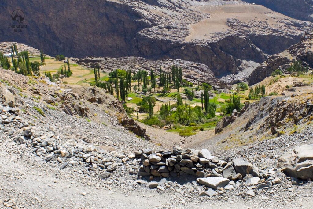
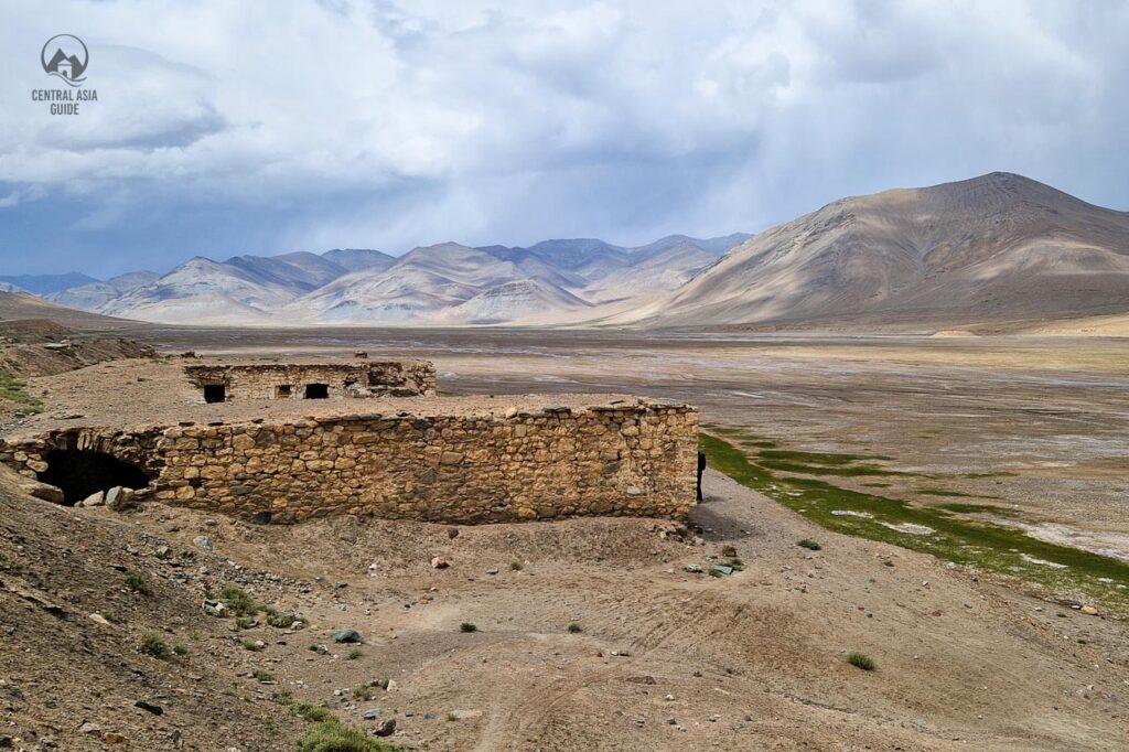
The natural environment of GBAO is within the most extreme mountainous in the world. Almost the entire region sets in a very high altitude, with few areas below 3 000m (10 000 ft). Magnificent mountain peaks and ranges mount over dry valleys and plateaus. British explorers give the name of “rooftop of the world” due to its high altitude incredible landscape. Extensive and impressive glaciers sharpen down steep slopes, producing wild rivers that roar through narrow canyons. There are almost no forests because most of the region is above the tree line. Just grasses and small shrubs survive in the highlands outside some lush valleys. The highest peaks lie in the Pamir mountains include Ismoil Somoni peak 7 495 m and Lenin peak 7 135 m.
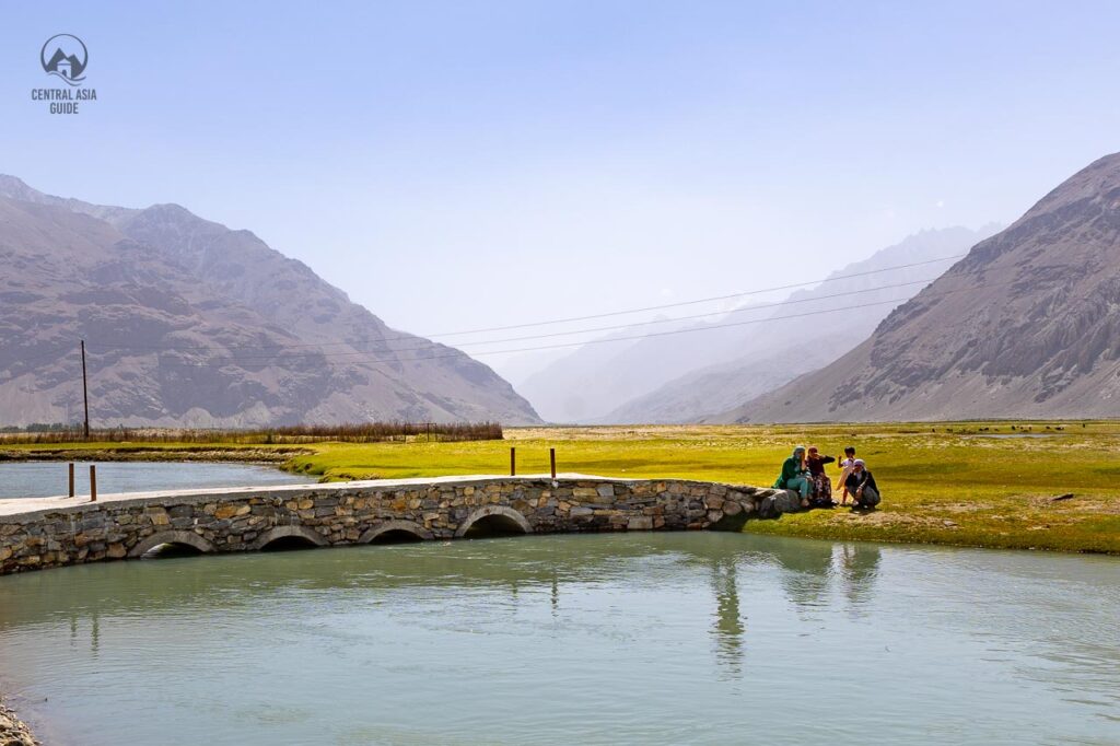
The most impressive river of Pamir is the powerful Pyanj. It starts from the Chinese border and runs all the way to the Aral Sea, crosses through a deep canyons, and separating the Tajik border with Afghanistan. Two well-known lakes lie here, gigantic salty lake Karakol and stunningly gorgeous lake Sarezkol. Many mineral hot springs dot the countryside, some with developed infrastructure.
Read more about Tajikistan
Page updated 3.1.2024