Kolsai lakes
Kolsai lakes
Kolsai (Kolsay in Kazakh) is a system of 3 lakes, located a 300 km drive southeast from Almaty, at Kungei Alatau mountain ridge which is one of the ridges of the northern Tien Shan, that limits in the north the Issyk-Kul basin, and follows in the south the Zailisky Alatau ridge. These two great ridges are divided from east by the large valley of Chilik river.
Kungei Alatau is famous for its lakes, which are the real gems of the Northern Tien Shan in Kazakhstan. The Kolsai lakes were formed due to a powerful earthquake that took place here in the late 19th century. Huge amounts of stones and soil flooded the gorge in several areas and formed natural dams to the river that was running at the bottom of the gorge and thus creating the lakes. The color of all the lakes changes according to the weather from dark blue to turquoise or green and the water is very clear in all of them.
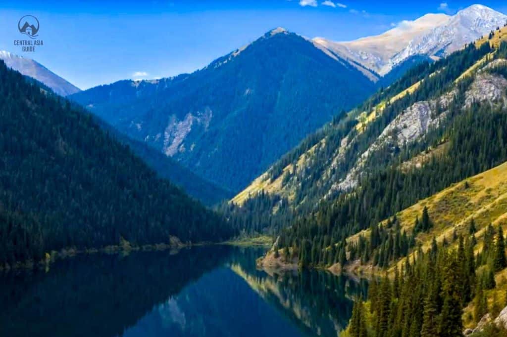
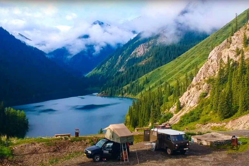
The first lake, called the Lower Kolsai lake, is situated at the height of about 1800 m above the sea level and is 2 km in length and 80 m deep. If the weather is not windy the lake resembles a vast mirror along the gorge, mirroring the mountain slope forests and peaks amazingly from the surface. A steep path from the parking area leads down to the lake between the steep mountain slopes that are covered with thick spruce forests. Many beautiful plants can be met in the slopes, including the specific bluish colored Tien Shan spruce. There is a path at the eastern side of the lake with some spots for tenting and you can also rent a boat for some rowing at the lake. Kolsai lakes are best seen combined with other sights ligke the Kaindy lake, Charyn canyon and Altyn Emel desert and are included in several of our Kazakhstan tours.
If you want to walk further to the second and lake you better have your passport at hand as there are reports of border guards who will want to see your passport as it is possible to cross to Kyrgyzstan from the pass after the third lake. Lately it is has not been allowed to travel to the third lake next to the Kyrgyz border without a special border zone permit.
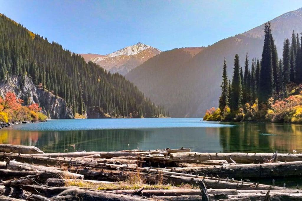
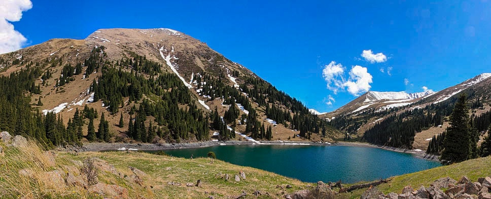
The marked trail uphill to the second (middle) lake “Manzhyly” starts at the right (west) side of the lake and goes along the spruce forest and later follows the river that runs between the lakes all the way to the largest lake of the three. The second lake is located at the height of about 2200 m above the sea level. Even steeper cliffs on three sides surround the lake and almost all the slopes are covered with deep spruce forest interspersed with ash trees. There are good places for tent camping on the further north coast of the second lake.
Hiking in Kolsai lakes
Hiking route between the first and second Kolsai lake is very balanced in terms of the gradual rise of altitude and complexity of the terrain. It is around 8 km one way between the first and second lakes and it usually requires around 3 hours of active hiking. This only applies though for the “right side route” which we describe here. If you are not already experienced hiker, it is better to take the follow this western route as the eastern one “left route” is somewhat demanding with fairly steep slopes and ledges with high falls.
There are three good points for breaks with benches and tables and at some of these points include informational boards with altitude numbers and other information. The route till the first resting point is mostly relaxed hiking with just one steep point close to the middle part of the first lake. Between the first and second points, the hike becomes a bit more demanding and the part between the second and third points will be the hardest but at the same time most interesting.
There will be some steep rises with tiny zigzag roads leading continuously uphill. Many people usually turn back here but actually it is the last big hike on the way to the second lake. So if you have enough time (always turn back after 4 pm in the mountains if you don’t plan to camp) and energy – just keep going. After reaching the third resting point with benches it’s only around 30 minutes to the second lake. At the beginning of the second lake, it’s possible that you meet border guards that will want to check your passport. ( the border with Kyrgyzstan is very close to the lakes).
It is possible to continue the hike to the third lake but as mentioned a border permit is needed for this.
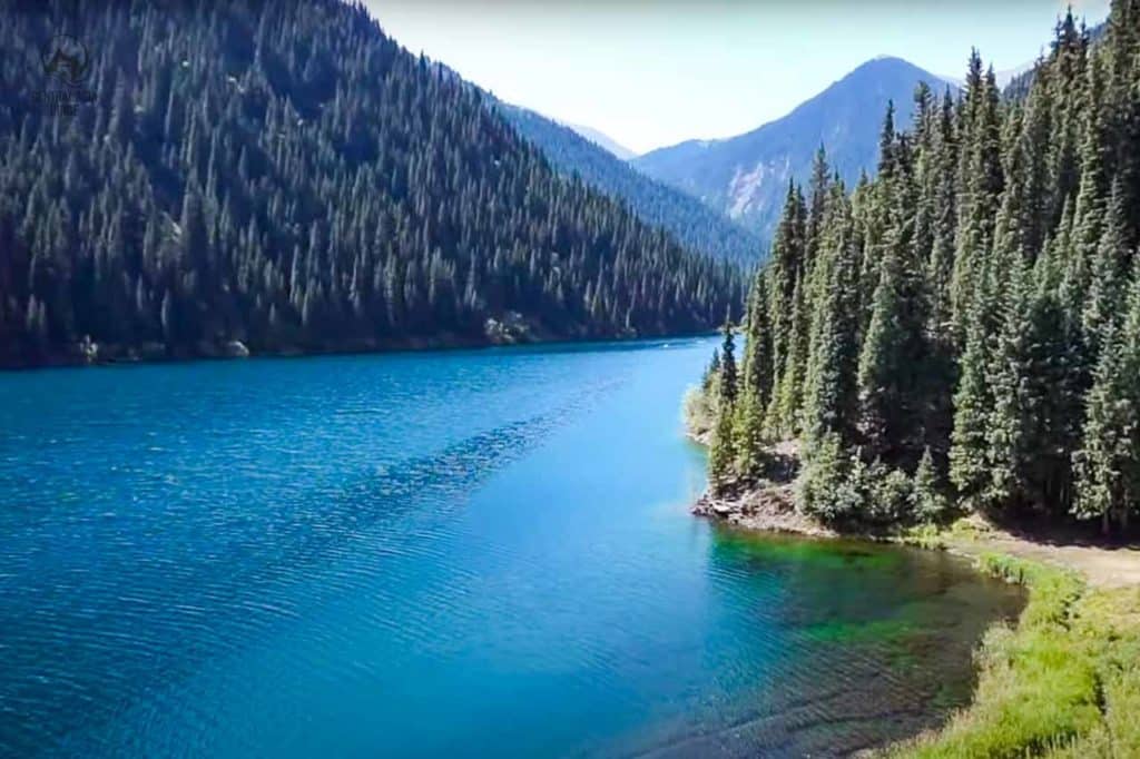
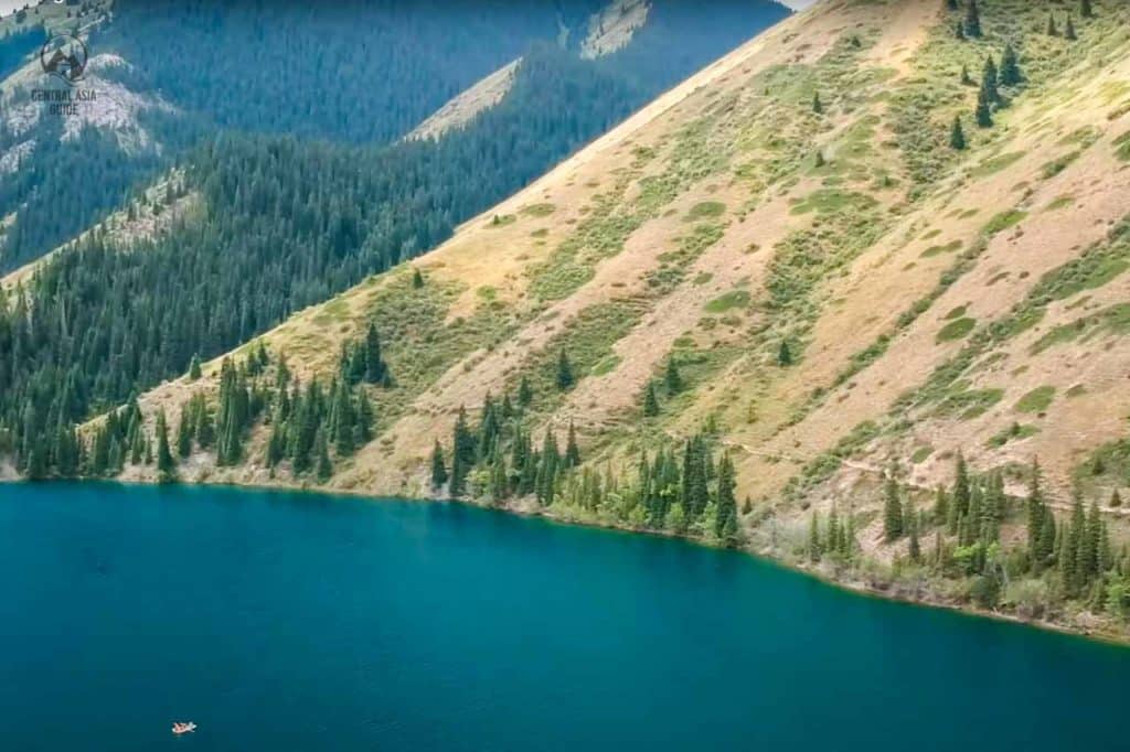
The third (upper) Kolsai lake situated at a height of 2800 m above the sea level and its surface area is less than half of the second lake. The dam that has is made of huge boulders and has formed the lake, is now overgrown with forest. On the north shore of the lake there is a grove of juniper trees with the highest of more than 4 meters.
If you wish to go to the pass “just” above the lake (6 km further) you will find a great spot to see the Issyk-Kul lake in Kyrgyzstan to the South. We have no knowledge of the path to the pass but bear in mind that the pass is at the border of the two countries and the weather conditions can turn harsh quite quickly in the high mountain areas. The height of the Sary-Bulak Pass towards Kyrgyzstan is 3278 m so be sure the equip yourself with the proper equipment and skill set before trying this one.
Accommodation at Kolsai Lakes
If you are traveling to Kolsai lakes (to see the Kaindy Lake and Charyn canyon as well) it’s definitely worth spending at least two days as as the driving from Almaty or Issyk Kul side takes time. The best place to stay is the Saty village that offers several guesthouses. They offer delicious home made traditional Kazakh food and are very friendly. The facilities are of the village level, meaning that the toilets might not be the ones you have gotten used to or there might not be showers but banyas (Russian sauna) instead, but it is only part of the experience!
There is also a new more comfortable option to stay in the first Kolsai Lake Village cottages. There are double rooms, cottages for three, four, and six people and a hostel. It is also possible to stay in a yurt by the first lake.
Tours including Kolsai lakes
How to get to Kolsai lakes
Going to the Kolsai National Park by public transport is apparently not the best option. You can take a shared taxi going to Saty village, it is the nearest village to Kolsai lake in the Sayaha bus station in Almaty. A shared taxi will cost about 4000 tenge and take about 4 hours drive, about 280 km from Almaty with good asphalt road.
From Saty village you can walk 15 km in asphalt road to Lower Kolsay or ask the locals to take you with a 4×4 car as the road up is not that good. You can also try to hitchhike, there should be cars passing by. As soon as you reach to the first Lower lake you can hike to the second and third as well. There is an entrance fee to the lake area. Make sure to visit the Kaindy lake while in Kolsai lakes!
Weather at Kolsay Lakes
Kolsai lakes can be visited at any time and they always offer a different experience depending on the season. it’s always great to walk around the lake, enjoy the stunning view of unique Tian Shan spruce trees and to breathe the clean mountain air filled with healing phytoncides from conifers.
The temperatures in Kolsai can vary a lot from hot hot summers (+30 C) to very cold winters (-25 C). One can experience summer heat at the first lake & heavy rain with the ice-cold wind at the second just withing few hours. Don’t forget your rain and wind proof coat and warm fleece sweater. For hiking in any weather, you will need appropriate footwear.
Also remember that while going higher the temperature always falls, meaning that from the +40 from of Almaty, it can go to less than 20 if you hike high enough even during the daytime. Nights can also be very cold even during the summer time if you plan on staying in the mountains for the night.
Sights & Destinations near Kolsai Lakes
Page updated 4.3.2023