Langar
Langar Village
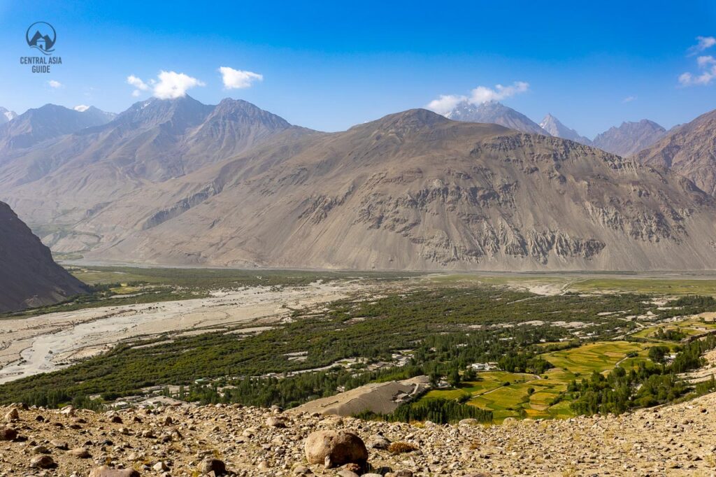
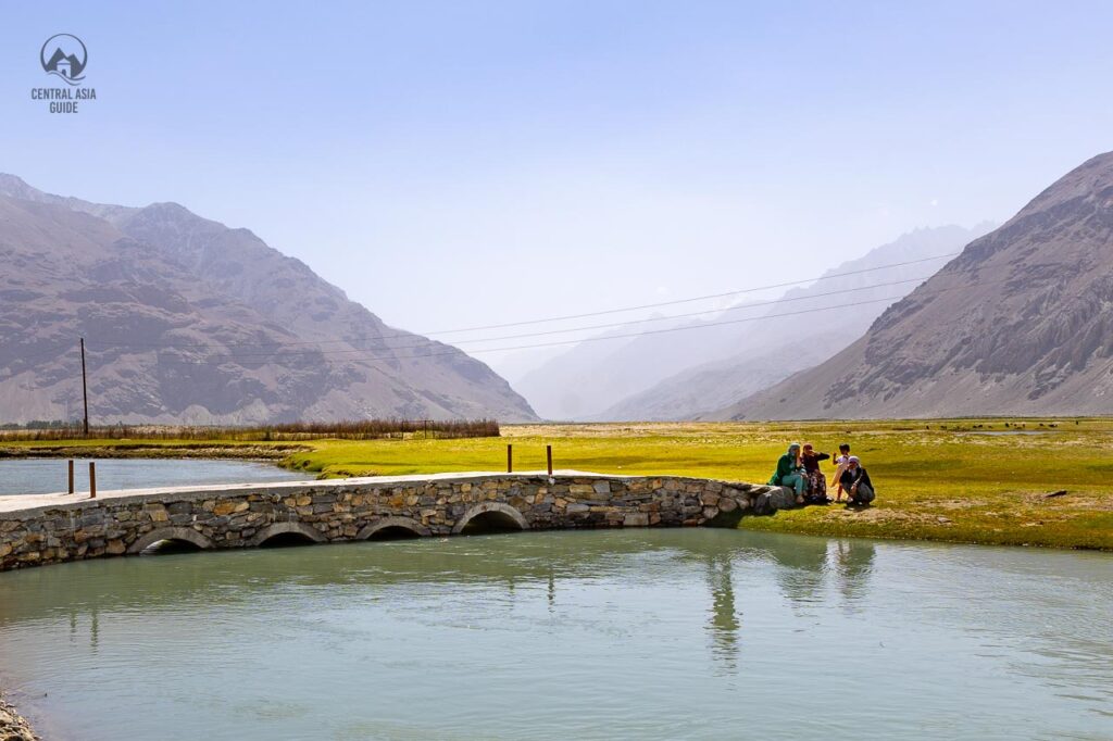
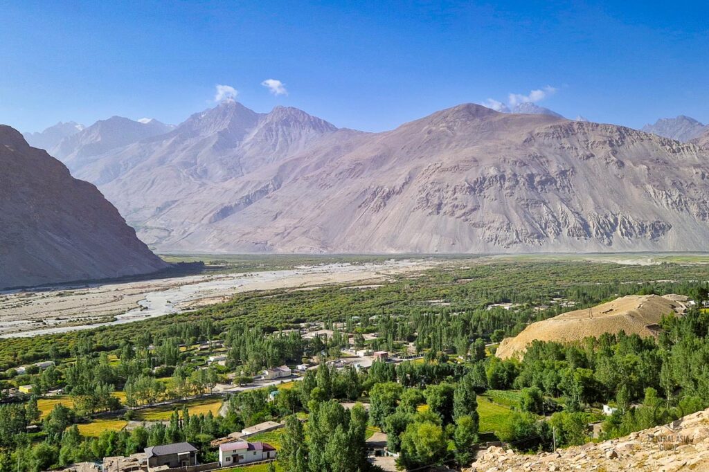
The pleasant village of Langar lies in the upper part of the Wakhan Valley. It is a spot where Wakhan and Pamir rivers join to compose the Pyanj river. Langar marks as the end or beginning of the Tajik Wakhan as it is at the spot where the enormous Wakhan valley opens up to its wide magnificecence. The Langar village stands at the altitude of 3000 m above the sea level and it is one of the highest villages in the southeastern part of the Pamir mountains. The village is placed deep within a gorge, where steep, rocky slopes surround the verdant green valley and 6000 m peaks of Pamir and Hindu Kush mountain ranges.
Langar is a great place to enjoy a more soft mountain climate, as if you are venturing further to Pamir towards the north, there will be only harsh mountainous deserts and rocky rugged mountains on the way towards Murghab or if you have just reached Wakhan from the higher altitudes. The scenery here is truly impressive, just a short walk out of the village will give visitors beautiful views over the valley and the azure river. Langar offers also several options for accommodation.
There are several towns called Langar in Tajikistan and in Uzbekistan as well as so don’t get confused. The “Langar” word originates from Persian which was earlier obtained from Greek and meant an “anchor”. Greek anchor changed gradually into angor, then to langor and eventually became langar. The significance of such name is related with the naval term “harbor” forming an expression that meant places on land where caravans stopped. Thus, places of frequent stops on trade routes were called “Langar” in Central Asia. Langar is the perfect stopover place which offers variety of guesthouses as well as the most significant about this place are the langar petroglyphs.
Langar Petroglyphs
The number of petroglyphs above Langar village are estimated to be of more than 6000 and they are located on a steep mountain side just above the village on an area with an abundant amount of flat rock surfaces optimal for petroglyph drawing. After an exhausting climb, one will see painted mountain goats, deer, hunters with bows and riders, some which “stamped” on an altitude of 3300 meters above sea level. Many other petroglyphs would show scenes of hunting of mountain goats, while others would include depicted images of a musical instruments.
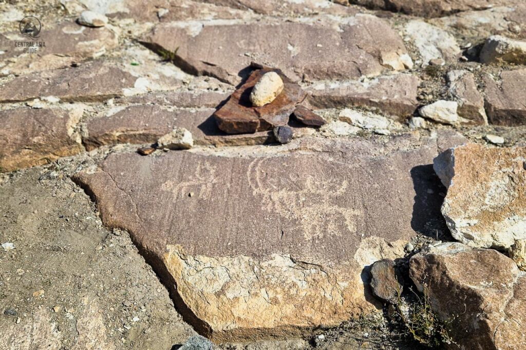
A much later group of Langar Petroglyphs represents Islamic motifs or religious texts or poems in Arabic/Farsi script – clearly post 8th century when Islam was introduced in the region. Normally the patina’ method is used to date petroglyphs, by which the surface of the engraved lines is examined for iron and manganese traces, although these can also be affected by the location of the petroglyph and the angle of its exposure to the sun. The oldest are those where the color of the lines is almost identical to that of the rock.
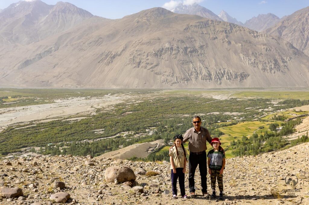
The tradition is continuous and man has made marked figures on rocks in the Pamirs probably until the beginning of the 20th century. Today, unfortunately, graffiti often prevail but the view over the Wakhan Valley from the spot with petroglyphs is worth the visit even without the petrolypghs.
Shoh Kambari Oftab Mazar
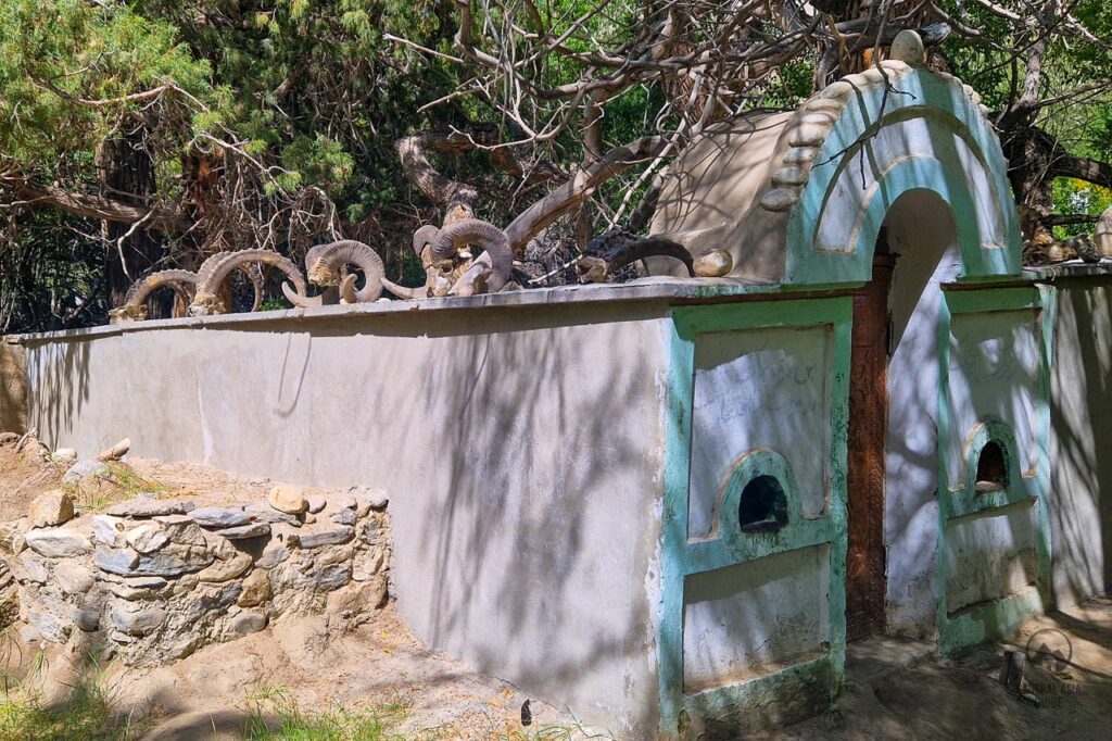
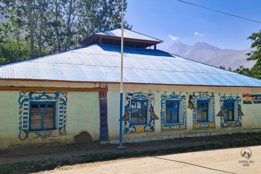
“Shoh Kambari Oftab” means Mater of the Sun and is another significant attraction of Langar. This shrine is located by the bridge, across the main road from the village “jamoat khana” (prayer house, easily recognizable by its colorful murals decorating the window frames).
This meticulously maintained shrine-garden is decorated with collections of ram horns and shaded by ancient trees. Honoring the man credited with bringing Ismailism to Langar, this site is walled and respected lending a strong sense of presence to the place.
Fortresses around Langar
In this cold barren and isolated Wakhan corridor once about 2000 years back life was flourishing. The fortresses were built here along the way to protect trade and demand taxes by the Kushan empire, famous for their Greco-Buddhist art. It was one of the primary ways the Silk Road ran through the Pamirs.
Ratm Fortress
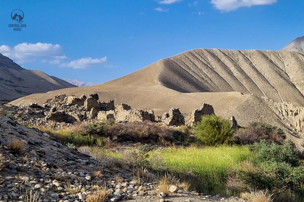
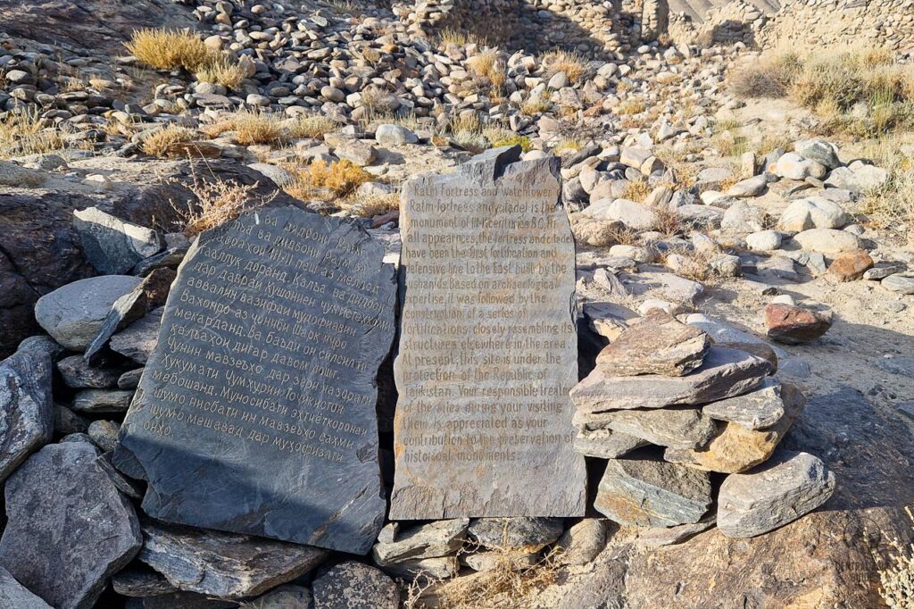
The Ratm was once a fortress today is more than a ruins lie around 10km east of the Langar village. The earlier parts date from the 3rd-2nd century BC and its is thought to have been used by the 8th century Chinese general Tao Hsien Chih to drive the Tibetans from the Wakhan.
Vashim Qala
The ruins of Vashim fortress also known as Abrashim Qala, formed by the hills of the Wakhan Valley. The Abrashim Fortress located at Zong, 5km west of Langar, this fortress was built to protect a branch of the Silk Road against Chinese and Afghan invaders. The fortress ruins, while not much is left, but offer perhaps the most scenic views of the whole Wakhan Valley.
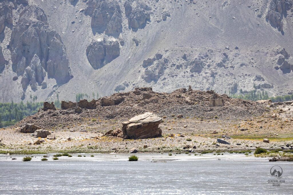
Qala-e Panja Citedral in Afganistan
Qala-e Panja ruined citadel lies on the Afghan land. Once the largest settlement in the Wakhan. The citadel is visible across the Pyanj River from near Zugband, some 10km west of Langar.