Lake Karakul
Lake Karakul in Pamir
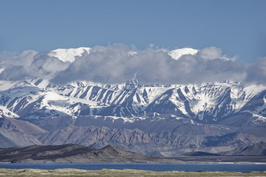
Karakul lake is believed to have been formed when a giant meteorite struck Earth, possibly some 5 million years ago in the Eastern Pamir mountains. Its diameter is about 25 kilometers and it is a hyper saline lake with no rivers leaving the lake and only receives less than 30 mm precipitation per year. In Central Asia and the Turkic-speaking world there are a large number of Karakul named (Kara-Kul, Karakol, Qarakol) destinations.
Karakul, in this case, translates as the black lake, even though the lake is not black in color, but more a deep deep dark blue which indicates the lake being supplied from the surrounding ground waters. In addition to ground water, there are also 3 rivers feeding water to the Karakul lake. The salt covered beaches around the lake tell that the lake has been previously larger and some studies mention that it is still getting smaller, though very slowly.
The lake has 2 distinct parts, divided by a peninsula from the south and an island in the north. The island is 8 km long and 4 km wide and the channel between the island and the peninsula is about 1 km wide. The east part is only 22,5 meters deep, while the deepest point of the west basin is 236 m.
Karakul lake location
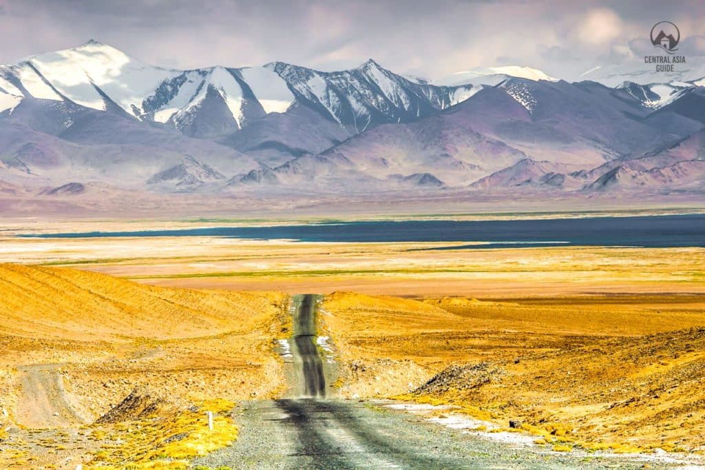
Most of the Pamir tours pass along this lake as it is not far (50 km) from the border control point to Kyrgyzstan, in the Pamir highway (M 41) that is the only larger road in this high area. Karakul Lake’s elevation is 3 960 m above the sea level, making it one of the highest mountain lakes in the world, not taking into account the ones in Tibet area.
The Kyrgyz and Chinese borders are not far away and one can see the Lenin peak from the shores of the lake. The lake is located inside the Tajik (Pamir) National Park where the road is mainly unpaved and it is massively damaged by erosion, earthquakes, landslides and avalanches. After Tajikistan gave up on some for China, the Pamir Highway next and north from Karakul Lake has a fence on its eastern side.
Tours including Karakul Lake
Karakul lake climate
Karakul lake and its surroundings are one of the driest spots in Central Asia. The area is circled by high mountains that block humid air masses from all directions. The temperatures here reach only to maximum +16 in in average in July and august. During the winter time temperatures go well below -20 degrees. The Markansu valley in the area is famous for its constant fierce winds that are raised due to the cold mountain air meeting with the warm air masses from the Taklamakan desert in the Tarim basin. Even tornadoes are not unheard of and the stories tell of packed camels being lifted by them.
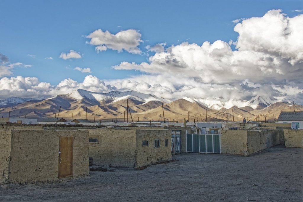
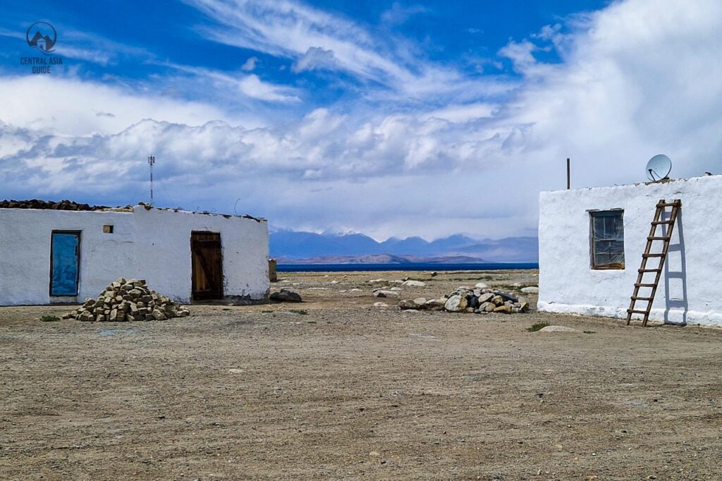
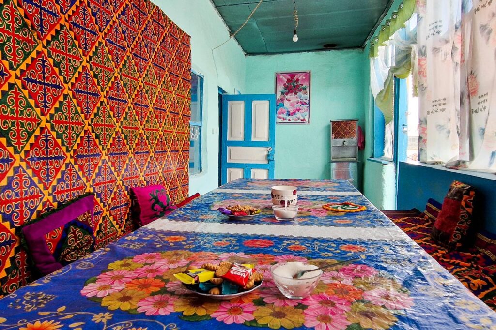
The climate is so harsh that most of the houses in Karakul are abandoned but there are still some guest houses available during the summer period.
Sights around Karakul Lake
There are several archaeological sites near the lake with geoglyphs, tombs that date to the BC centuries. It is believed that Pamir and Karakul used to be a lot lower in the past and thus allowed forests to grow but it is not certain. Nevertheless, this would explain explain the remains of wooden bonfire remains and other archaeological findings in the area. Karakul area is also recognized as an important area for bird life area with more than 90 species recorded. One can also always hike around the lake, the views are breathtaking and you will not encounter many other tourists walking here.
Karakul lake village
A walk in the Karakul village is an experience as itself. It is rare to see people outside and one can really feel being far away from everything.
Hiking around Karakul Lake
Hiking is the obvious thing to do around Karakul and the best site for that is the southern shore of the lake. One can hike up to the South Aral peak at 4276 m that offers a great view over the lake, the village and the rugged desolate areas beyond. There are also countless other areas to roam but it is mostly desolate high desert plateau.
Geoglyphs and Saka graves near Karakul
Near the resthouse at Kara-Art, about 8 km north from the village, a track turns off west to 2 sites of geoglyphs and Saka kurgans, starting about 500 m from the turnoff. In total there are 19 geoglyphs and 25 tombs, dated from the 7th to the 2nd century BC.
Muzkol Valley visit from Karakul
In Muzkol Valley, south from the Karakul lake, you can see the geoglyphs at Shurali and meet the Kyrgyz shepherds who take their yaks on the summer pastures of Jalang. Jalang also has a meteorite crater similar to the Ak-Bura crater between Murghab and the Qolma Pass.
There should be a possibility to stay over with the families living at Jalang that stay in their yurts there for the summer season to take care of the animals.
Birdwatching in Karakul
As mentioned, Karakul lake has a lot of birds, especially migratory ones and the cliff and mountain areas have some specific bird species living only in the high mountain areas.


Markansu Valley
The Markansu valley is located just next the border with Kyrgyzstan and is divided between Tajikistan and China. With annual precipitation often less than 30 mm, it is one of the driest places in Central Asia. The valley acts like a wind tunnel during the afternoons when cold air masses from the Pamir Plateau are pushed through this relatively narrow valley towards the Tarim Basin in China.
Oshhona archaeological site
An early human abode from about 9500 years ago was found in the Markansu Valley including the ashes from a bonfire, some weapons and animal bones. Scientists have been wondering where the wood came from and this pondering together with the cave paintings near Murghab, have lead to believe that Karakol lake area was at a lot lower level thousands of years ago and allowed the growth of forests in the area.
Pamir border fence
About half of the Markansu valley was taken by China after the fall of Soviet Union and the Tajik civil war meaning that the border to China is not far from the lake. The border area is marked by a fence that follows the Pamir highway in this part of the road. The border permit adds a certain feeling to the otherwise desolate views.
Other Sights & destinations near Karakul lake
Page updated 11.10.2024