Panj River
Pyanj River
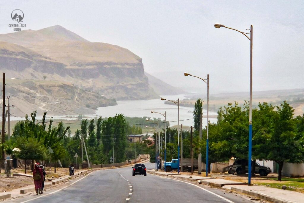
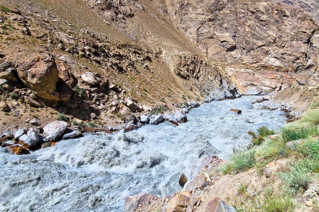
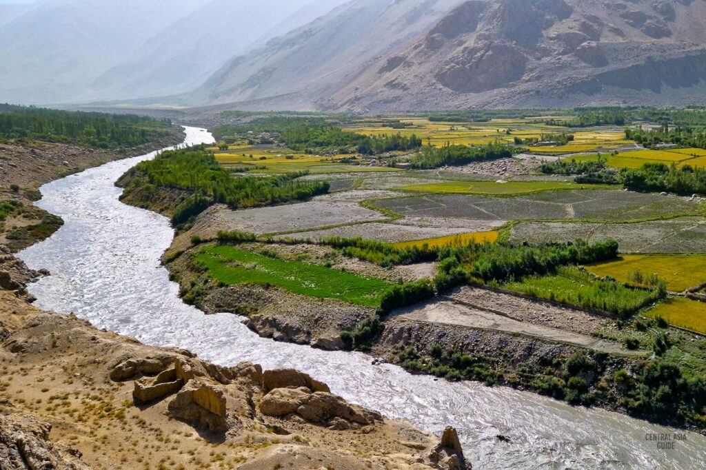
Pyanj river, also written as Panj, Pyandzh or Panzh, is one of the most significant rivers in Central Asia and a tributary of the Amu Darya providing waters that ultimate reach (or should reach) the Aral Sea. It is a glacial river, silty and opaque, originating from the Pamir mountain range and formed by the confluence of the Wakhan and Pamir rivers, near the Chinese border by the village of Qila-e Panja. From there, it flows westwards, forming the natural border between Afghanistan and Tajikistan. The river passes very different areas and is sometimes kilometers wide and in the narrowest points just perhaps 10-20 meters separating the two countries. The wildest fast flowing parts of the river are between Kalai Khum and Khorog between steep rocks while in the Wakhan Valley and in the western parts the river flows calmly.


After passing the city of Khorog, capital of the Gorno-Badakhshan Autonomous Region of Tajikistan, it receives water also from one of its main tributaries, the Bartang River. It then turns towards the southwest, before joining the river Vakhsh and forming the greatest river of Central Asia, the Amu Darya.
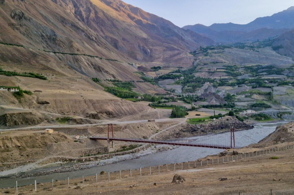
The Panj river is 921 km long and has a basin area of 114 000 square km. There are many bridges across the river between Tajikistan and Afghanistan like at Khorog, Ishkashem, and Langar in GBAO, Nizhni Pyanj, Tem and the new “Friendship Bridge” at Darwaz in the very western part of Tajikistan. Today, some sections of the river still have mines remaining from Soviet times, which are mostly marked. It is still best to only travel near the river accompanied by a local guide as there are soldiers patrolling the river that might request your documents at any time.

